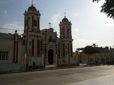
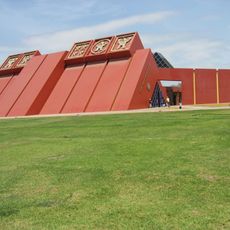
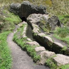
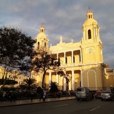
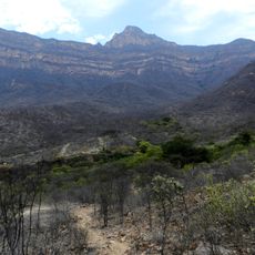
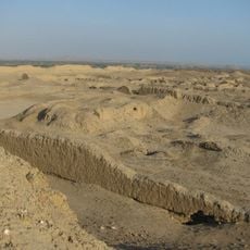
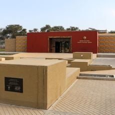
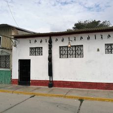
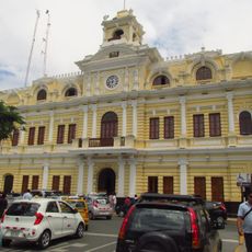
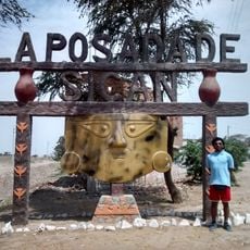
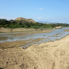
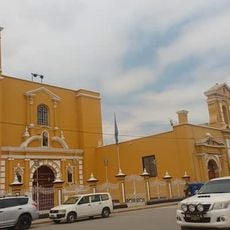
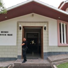
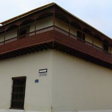
Ferreñafe District, district in Lambayeque, Peru
Location: Ferreñafe Province
Capital city: Ferreñafe
Elevation above the sea: 67 m
Shares border with: Pitipo District, Manuel Antonio Mesones Muro District, Picsi District, Lambayeque District, Pueblo Nuevo District, Mochumi District
Website: http://muniferrenafe.gob.pe
GPS coordinates: -6.63922,-79.78798
Latest update: March 2, 2025 22:59
The Royal Tombs of Sipan Museum
14.3 km
Túcume
15.1 km
Cutervo National Park
120.8 km
Pómac Forest Historical Sanctuary
18.5 km
Kuntur Wasi
117.6 km
Cumbe Mayo
147.6 km
Huaca Rajada
14.4 km
Batán Grande
18.9 km
Ventarron
18.3 km
Laquipampa Wildlife Refuge
46.6 km
St. Mary's Cathedral, Chiclayo
15.8 km
Pacopampa
92.2 km
Brüning Museum
14.7 km
Chotuna-Chornancap
20.3 km
Private Conservation Area Chaparrí
47.8 km
Pacatnamu
78.9 km
Museo de Sitio Huaca Rajada - Sipán
27.4 km
Pagaibamba Protection Forest
83.6 km
Museo de Sitio Túcume
15.1 km
Bosques Nublados de Udima Wildlife Refuge
87 km
Zaña Afroperuvian Museum
38.8 km
Palacio Municipal, Chiclayo
15.7 km
Sicán National Museum
1.7 km
La Leche River
26.8 km
Iglesia Matriz de Guadalupe
75.9 km
Ñaupe River
95.1 km
Museo Kuntur Wasi
117.8 km
Casa Montjoy
14.9 kmReviews
Visited this place? Tap the stars to rate it and share your experience / photos with the community! Try now! You can cancel it anytime.
Discover hidden gems everywhere you go!
From secret cafés to breathtaking viewpoints, skip the crowded tourist spots and find places that match your style. Our app makes it easy with voice search, smart filtering, route optimization, and insider tips from travelers worldwide. Download now for the complete mobile experience.
A unique approach to discovering new places❞
— Le Figaro
All the places worth exploring❞
— France Info
A tailor-made excursion in just a few clicks❞
— 20 Minutes