
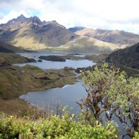
Guamote Canton, canton of Chimborazo province, Ecuador
Location: Chimborazo Province
Elevation above the sea: 3,200 m
Website: https://www.municipiodeguamote.gob.ec/
Shares border with: Riobamba Canton
Website: https://municipiodeguamote.gob.ec
GPS coordinates: -1.93333,-78.71667
Latest update: March 27, 2025 10:10
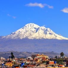
Chimborazo
52.9 km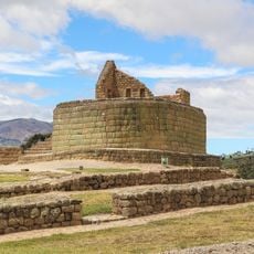
Ingapirca
69.8 km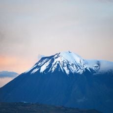
Tungurahua volcano
59.8 km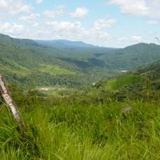
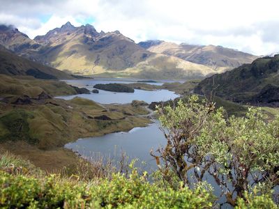
Sangay National Park
44.1 km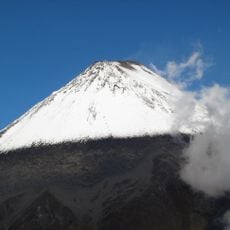
Sangay volcano
42.5 km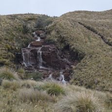
Llanganates National Park
104 km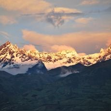
El Altar volcano
44.8 km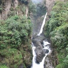
Cascada el Pailón del Diablo
75.2 km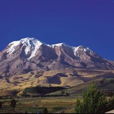
Chimborazo Fauna Production Reserve
50.5 km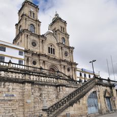
Shrine of the Virgin of the Cloud
91.1 km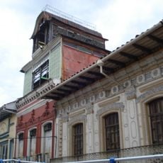
Historic Centre of Santa Ana de los Ríos de Cuenca
112.1 km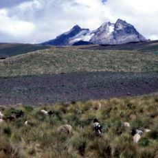
Carihuairazo volcano
58.6 km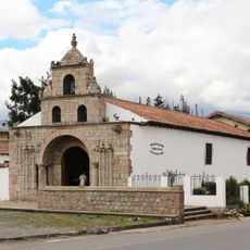
Iglesia de La Balbanera
23.9 km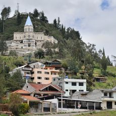
Sanctuary of the Blessed Virgin of Rocio
89.3 km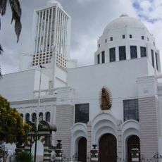
Cathedral Basilica of Our Lady of the Elevation
77.6 km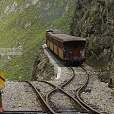
Nariz del Diablo
38.8 km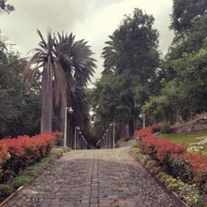
Atocha-La Liria Botanical Garden
77.7 km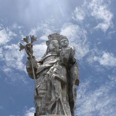
Our Lady of the Cloud Monument
88.5 km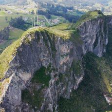
Cerro Cojitambo
94 km
Our Lady of Mercy Cathedral, Babahoyo
91.9 km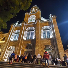
Cathedral of Azogues
90.8 km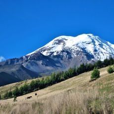
Chimborazo
53.1 km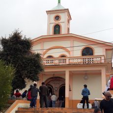
Santuario Católico del Señor de los Milagros de Andacocha
95.7 km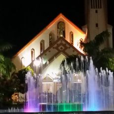
Our Lady of the Rosary Cathedral, Puyo
94.4 km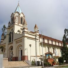
Santuario Diocesano Católico del Señor de Burgos de Borma
102.1 km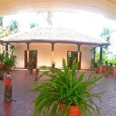
Martínez-Holguín House
79.2 km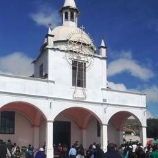
Santuario Católico Eucarístico Diocesano San Antonio
74.8 km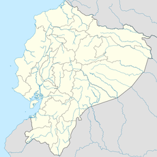
Negro River
101.2 kmReviews
Visited this place? Tap the stars to rate it and share your experience / photos with the community! Try now! You can cancel it anytime.
Discover hidden gems everywhere you go!
From secret cafés to breathtaking viewpoints, skip the crowded tourist spots and find places that match your style. Our app makes it easy with voice search, smart filtering, route optimization, and insider tips from travelers worldwide. Download now for the complete mobile experience.

A unique approach to discovering new places❞
— Le Figaro
All the places worth exploring❞
— France Info
A tailor-made excursion in just a few clicks❞
— 20 Minutes