Argentina–Chile border, International border in South America
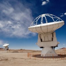
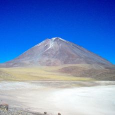
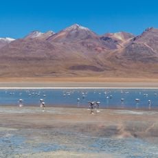
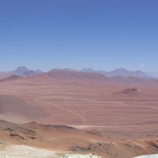
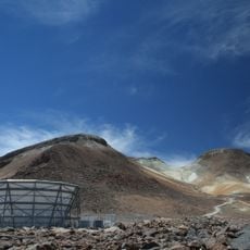
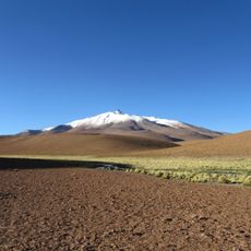
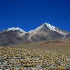
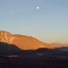
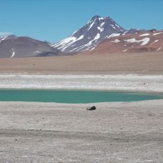
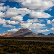
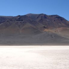
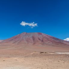
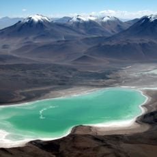
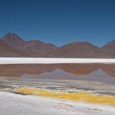
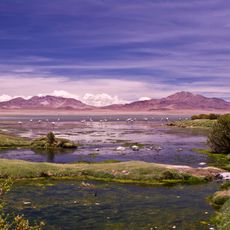
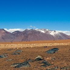
The Argentina-Chile border runs across more than 5,000 kilometers through the Andes and extends from the Atacama region to the Tierra del Fuego islands. The mountain range forms a natural dividing line between the two countries and includes diverse landscapes from dry plateaus to icy southern regions.
The 1881 treaty established the current border between Argentina and Chile and ended territorial disputes that emerged after independence from Spain. The precise demarcation in southern regions was refined through additional negotiations carried out in the following decades.
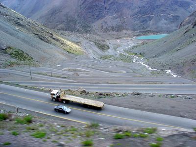
The border region contains mountain passes that facilitate trade exchanges between both nations, with Argentina exporting grains and meat while Chile provides investments.
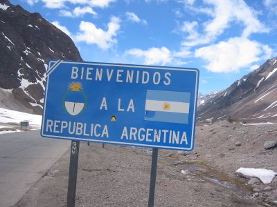
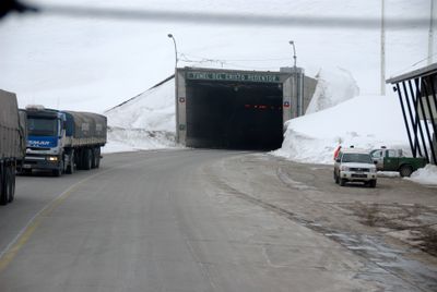
Multiple border crossings connect the two countries and vary in elevation, accessibility, and seasonal availability. Visitors should check current conditions before traveling, as some passes may close during winter months.
The southernmost section of the border runs through the Southern Patagonian Ice Field, where massive glaciers and lakes shape the landscape. This area remains subject to ongoing negotiations between the two countries, as drawing precise boundaries in this dynamic ice mass is difficult.
The community of curious travelers
AroundUs brings together thousands of curated places, local tips, and hidden gems, enriched daily by 60,000 contributors worldwide.