Salar de la Isla, Salt flat in Atacama Region, Chile
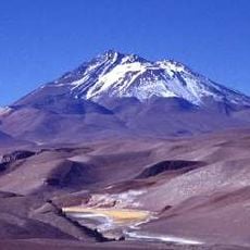
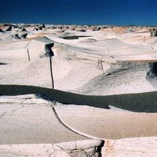
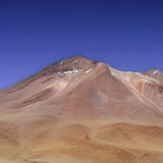
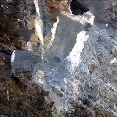
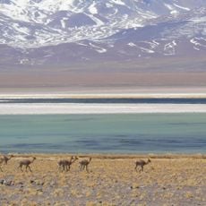
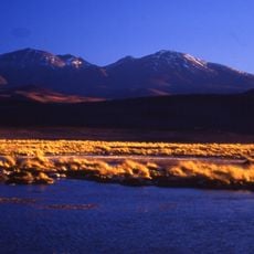
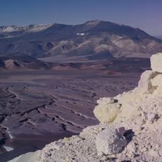
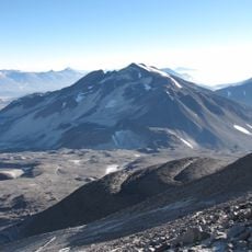
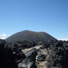
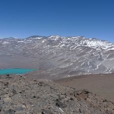
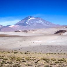
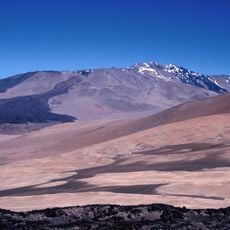
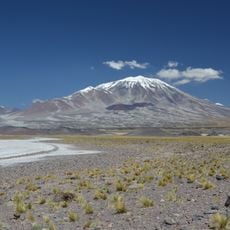
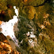
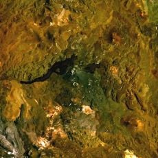
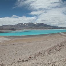
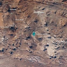
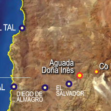
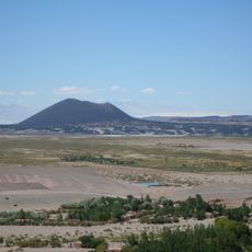
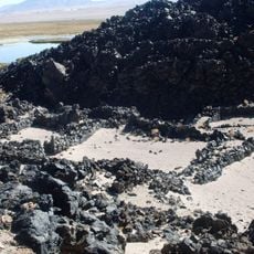
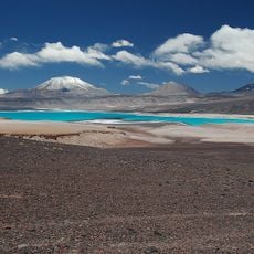
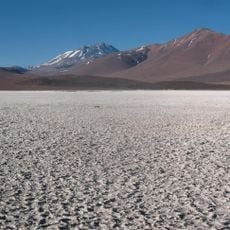
Salar de la Isla is a salt flat in the Atacama Region, about 30 km east of Taltal near the Argentine border. It covers 152 km² at an elevation of 3,950 m, with lagoons spanning 2.4 km². A small hill rises in the middle like an island, giving the flat its name.
This salt flat was first documented in 1924 by geographer Luis Risopatrón in his geographical dictionary. Early records identified thermal springs and borate deposits that characterized the area.
Luis Risopatrón's 1924 dictionary notes a small hill rising like an island in the middle of the flat, which gave the place its name. He also recorded borate of lime deposits on the northern edge, where abundant, extremely brackish thermal springs give off hydrogen sulphide. There is no grass or tussock on the shores; the nearest grazing lies about two hours west.
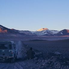
The salt flat lies east of Taltal, close to the Argentine border, at 3,950 m; the mean temperature is 0 °C and rain averages 130 mm a year. Approach with high-clearance vehicles and allow for acclimatisation. The northern edge holds hot, very brackish springs smelling of hydrogen sulphide; no grass or fodder grows on the shores, the nearest being about two hours west.
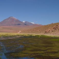
Luis Risopatrón's 1924 dictionary notes a small hill standing like an island in the middle of the flat, the feature behind the name. He also records borate of lime deposits on the northern edge, where abundant, extremely brackish thermal springs give off hydrogen sulphide. No grass or tussock grows on the shores; the nearest is two hours west.
The community of curious travelers
AroundUs brings together thousands of curated places, local tips, and hidden gems, enriched daily by 94,670 contributors worldwide.