La Paz

Log in to your account

AroundUs is a community-driven map of interesting places, built by curious explorers like you. It grows with every review, story, and photo you share.
Connect to save your favorite spots, contribute locations, and create personalized routes.
Continue with Google
Continue with Apple
Continue with X
Continue with Facebook
Continue with email
By continuing, you accept our Terms and Conditions and our Privacy Policy
Create an account
Add to collection
Map
Suggest a change
Share

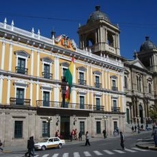
La Paz, Administrative division in La Paz, Bolivia

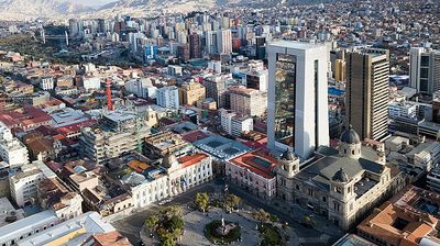
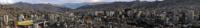
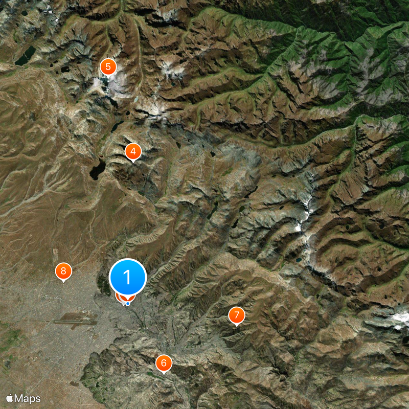
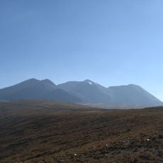
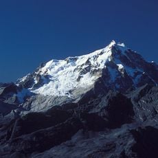
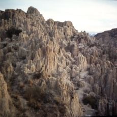
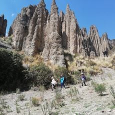
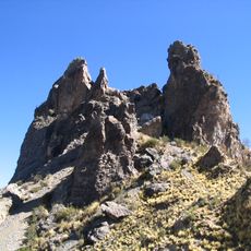
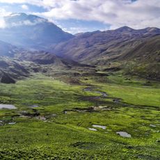
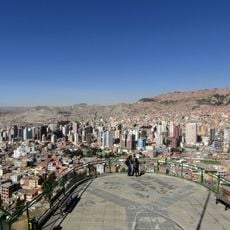
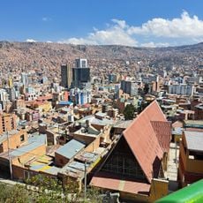
La Paz is an administrative division in western Bolivia that covers a large territory bordering Peru, Chile, and several other Bolivian departments. The terrain ranges from Andean highlands down to forested valleys, creating stark differences in landscape and climate.

The territory was officially created on January 23, 1826, after Bolivia gained independence through a decree that organized the new country. This decision structured the administration of the region and set boundaries that remain in place today.

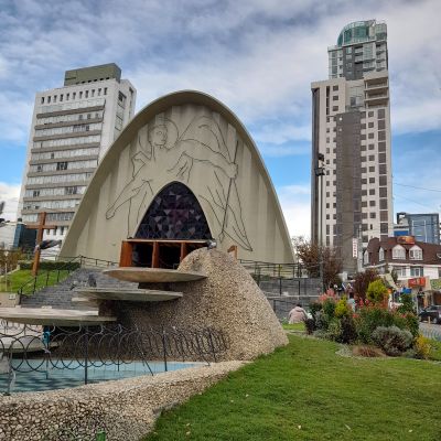
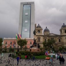
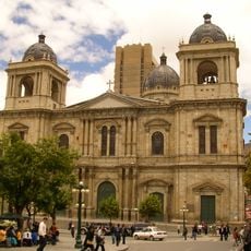
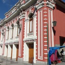
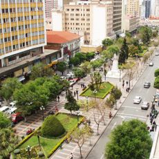
Indigenous communities follow customs that shape how people greet each other, prepare food, and organize gatherings in public squares. Festivals take place regularly, bringing together dancers, musicians, and street vendors who fill the roads with colors and rhythms anyone can join.

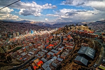
Travelers should prepare for changing weather and significant altitude shifts, as some areas sit high in the mountains while others are lower and more temperate. Road conditions vary between paved highways and unpaved tracks, especially in remote zones far from the main centers.

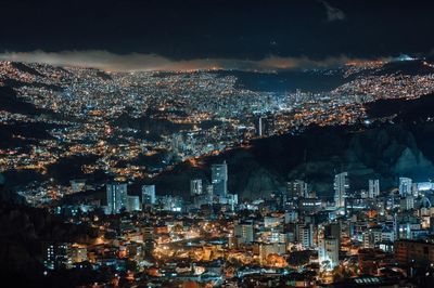
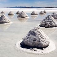
The altitude variation within this administrative territory ranks among the highest in the world, with peaks above 6000 meters (about 20,000 feet) and lowlands below 300 meters (around 1,000 feet). This range shapes everything from plant life to how communities live and work across different zones.

Location: La Paz Department

Inception: October 20, 1548

Founders: Alonso de Mendoza

Elevation above the sea: 3,640 m

Part of: Merco Cities Network

Address: La Paz, Bolivia

Website: http://lapaz.bo

GPS coordinates: -16.49583,-68.13333

Latest update: December 14, 2025 19:13

Photos
Visiting Bolivia: natural landscapes, archaeological sites, and colonial heritage

Bolivia sits in the central Andes, linking mountain ranges, high plateau lands, and lowland rainforests in a landlocked country. The changes in altitude create different climate zones and landscapes, from snow-covered peaks to tropical vegetation. Many visitors start in La Paz, a city that clings to...

Reviews

Visited this place? Tap the stars to rate it and share your experience / photos with the community! Try now! You can cancel it anytime.

« La Paz - Administrative division in La Paz, Bolivia » is provided by Around Us (aroundus.com). Images and texts are derived from Wikimedia project under a Creative Commons license. You are allowed to copy, distribute, and modify copies of this page, under the conditions set by the license, as long as this note is clearly visible.

Discover hidden gems everywhere you go!

From secret cafés to breathtaking viewpoints, skip the crowded tourist spots and find places that match your style. Our app makes it easy with voice search, smart filtering, route optimization, and insider tips from travelers worldwide. Download now for the complete mobile experience.

Around Us App Screenshot

A unique approach to discovering new places

Le Figaro

All the places worth exploring

France Info

A tailor-made excursion in just a few clicks

20 Minutes