Caprivi Strip, Geopolitical corridor in northeastern Namibia.
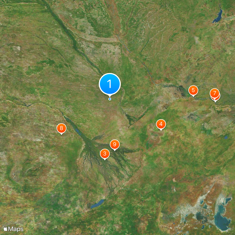
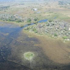
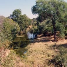
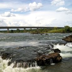
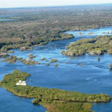
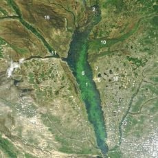
The Caprivi Strip is a narrow stretch of land in northeastern Namibia reaching eastward toward the Zambezi and bordering several neighboring countries. The shape of this corridor resembles a finger running between Angola, Zambia, Botswana, and Zimbabwe, crossing different river landscapes.
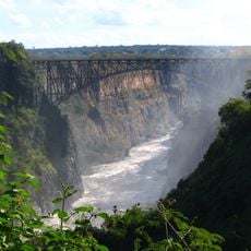
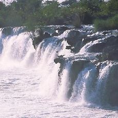
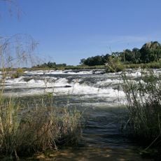
Germany secured this access to the Zambezi in 1890 through an agreement with Britain, naming it after their chancellor at the time. The arrangement aimed to open a route toward East Africa, though rapids downstream blocked any commercial navigation.
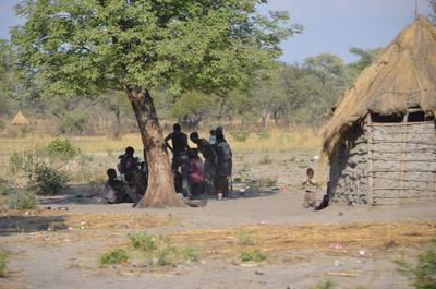
Local people use the Silozi dialect for daily trade and conversation, especially in villages along the rivers. This shared language connects families across borders and appears on market signs where vendors call out their goods.
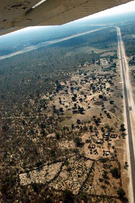
Travelers should bring a four-wheel-drive vehicle for the wet months when rain turns dirt roads into muddy tracks. Fuel stations and grocery shops appear only in larger towns such as Katima Mulilo, so stocking up in advance helps.
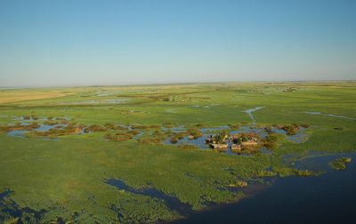
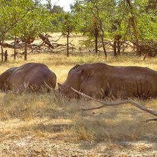
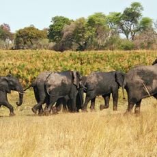
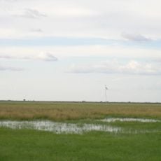
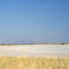
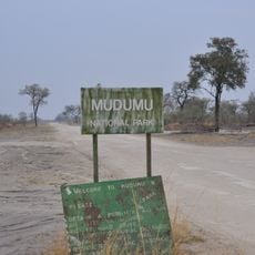
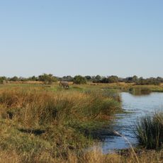
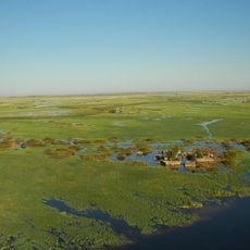
Bwabwata, Nkasa Rupara, and Mudumu together protect more than half of all Namibian elephants and buffalo across their grasslands and floodplains. Visitors can watch these large herds during game drives, especially in dry months when animals gather around waterholes.
The community of curious travelers
AroundUs brings together thousands of curated places, local tips, and hidden gems, enriched daily by 60,000 contributors worldwide.