Zambezi Region, Administrative region in northeastern Namibia.
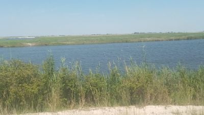
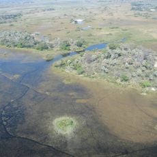
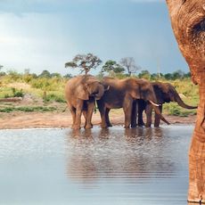
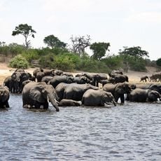
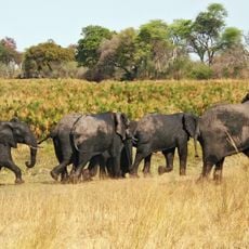
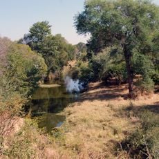
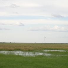
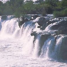
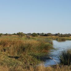
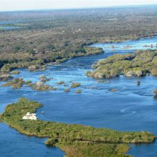
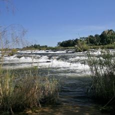
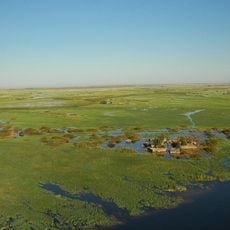
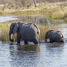
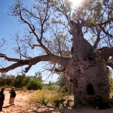
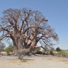
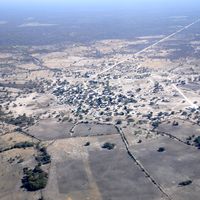
The Zambezi Region is a narrow strip in northeastern Namibia sandwiched between Angola and Botswana, characterized by tropical rivers, floodplains, and wetlands. The area spans roughly 14,800 square kilometers, with river systems forming the lifeblood for local communities and wildlife.
The territory passed to British administration after World War I, replacing German colonial control. It received a new name in 2013, becoming the Zambezi Region instead of its former designation.
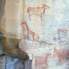
Seven ethnic groups including the Subia, Yeyi, and Mafwe call this region home, speaking distinct languages in daily life. Their traditions shape village life and river communities, where visitors can observe local crafts and customs still practiced today.
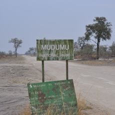
The region is accessible via the TransCaprivi Highway or Katima Mulilo Airport, with the best wildlife viewing window between May and October. Plan for longer travel times on the roads, as distances are significant and the landscape moves at its own pace.
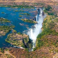
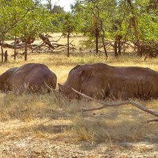
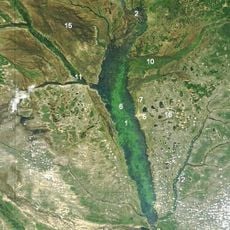
The area forms a critical junction where four countries converge and major African rivers meet. This geographic crossroads holds international ecological importance for wildlife conservation efforts across borders.
The community of curious travelers
AroundUs brings together thousands of curated places, local tips, and hidden gems, enriched daily by 60,000 contributors worldwide.