Bomet County, County in Rift Valley, Kenya
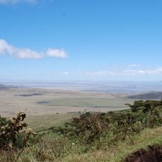
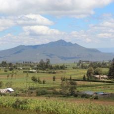
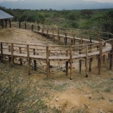
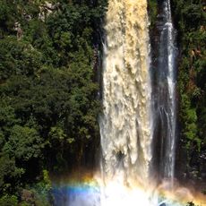
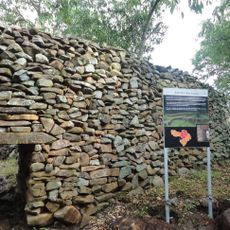
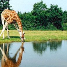
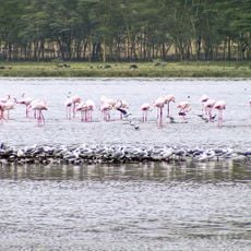
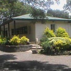
Bomet County is an administrative region in Kenya's Rift Valley comprising five districts with rolling hills, rivers like Nyangores and Chepalungu, and extensive farmland. The territory spans 1,630 square kilometers and contains various schools, colleges, and infrastructure projects aimed at improving water and electricity access throughout the area.
Bomet County was officially established in 2013 as part of Kenya's devolution of governmental power to local administrations. The county was created on the basis of existing geographic and community structures that had developed over generations.
The Kalenjin people form the main ethnic group in Bomet County, maintaining their agricultural traditions and organizing regular community festivals throughout the year.
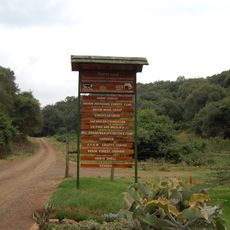
The county is best explored by road, though hilly terrain means journeys take more time than on flat ground. It helps to arrange transportation in advance or travel with local guides, especially in areas where infrastructure development is still ongoing.
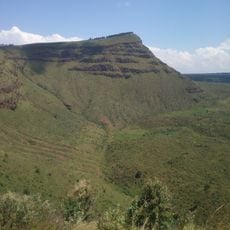
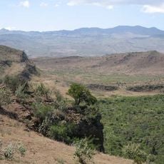
The county sits at approximately 1,962 meters (6,437 feet) elevation, which creates particular growing conditions ideal for tea and maize that thrive across the landscape. This altitude shapes both the appearance of the land and how people live and farm there.
The community of curious travelers
AroundUs brings together thousands of curated places, local tips, and hidden gems, enriched daily by 60,000 contributors worldwide.