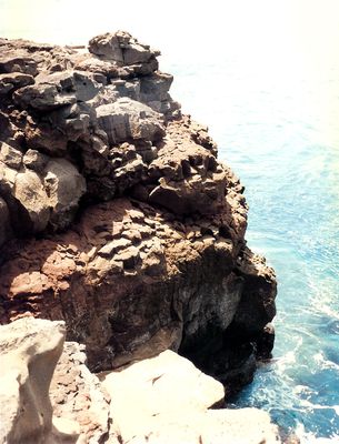
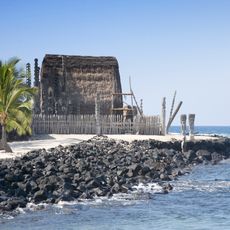
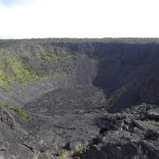
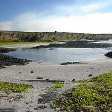
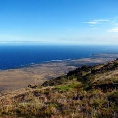
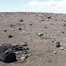
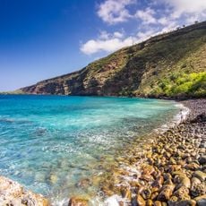
Ka Lae, Cape and National Historic Landmark at the southernmost point of Hawaii Island, US
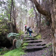
Ka Lae is a cape at the southernmost point of Hawaii Island that juts into the Pacific, where strong currents collide and create churning waters. The rocky cliffs frame a view of the open ocean and give you a sense of standing at the edge of the land.
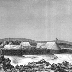
Polynesian voyagers first landed at this location roughly 1000 years ago, making it one of the earliest known entry points for settlement in Hawaii. The archaeological remains show that people chose this spot despite its challenging waters.
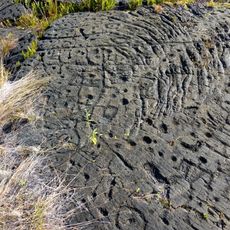
The drilled holes visible in the rocks along this coast show where ancient Hawaiians secured their fishing boats against the ocean's force. These marks reveal how people shaped this place to work with nature rather than against it.
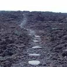
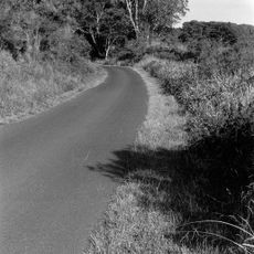
The road to reach this point is rough and exposed, so wear sturdy shoes and watch your footing carefully as you walk. The currents here are too strong and unpredictable for swimming, though locals do fish from the rocks.
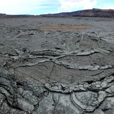
Two ocean currents collide at this spot, creating a visible meeting point where the water churns and shifts dramatically. Standing here lets you see the raw power of these forces working against each other.
The community of curious travelers
AroundUs brings together thousands of curated places, local tips, and hidden gems, enriched daily by 60,000 contributors worldwide.