
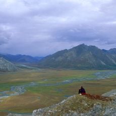
Schrader Bluff, cliff in North Slope Borough, Alaska, United States of America
Location: North Slope Borough
GPS coordinates: 69.15167,-151.01861
Latest update: March 26, 2025 11:29
Arctic National Wildlife Refuge
303.7 km
Kobuk Valley National Park
383 km
Mount Isto
285.5 km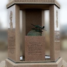
Rogers-Post Site
318.6 km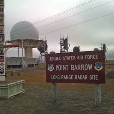
Point Barrow Long Range Radar Site
321.2 km
E. L. Patton Yukon River Bridge
369 km
Gates of the Arctic Wilderness
143.6 km
Yukon Flats National Wildlife Refuge
378.1 km
Mount Igikpak
252.7 km
Arrigetch Peaks
232.6 km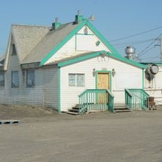
Point Barrow Refuge Station
322.3 km
Leffingwell Camp Site
223.8 km
Noatak Wilderness
366.6 km
Kanuti National Wildlife Refuge
306.4 km
John River
194.4 km
Birnirk Site
320.6 km
North Fork Koyukuk River
188.4 km
Selawik River
426.8 km
Gallagher Flint Station Archeological Site
94.5 km
Onion Portage Archeological District
378.4 km
Itkillik River
21.7 km
Walker Lake
264.5 km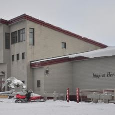
Iñupiat Heritage Center
321.9 km
Kanuti River
326.5 km
Peters Glacier (Brooks Range)
239.8 km
Utqiaġvik Church Manse
322.1 km
Rampart Canyon
423.2 km
Salmon River
402.8 kmReviews
Visited this place? Tap the stars to rate it and share your experience / photos with the community! Try now! You can cancel it anytime.
Discover hidden gems everywhere you go!
From secret cafés to breathtaking viewpoints, skip the crowded tourist spots and find places that match your style. Our app makes it easy with voice search, smart filtering, route optimization, and insider tips from travelers worldwide. Download now for the complete mobile experience.

A unique approach to discovering new places❞
— Le Figaro
All the places worth exploring❞
— France Info
A tailor-made excursion in just a few clicks❞
— 20 Minutes