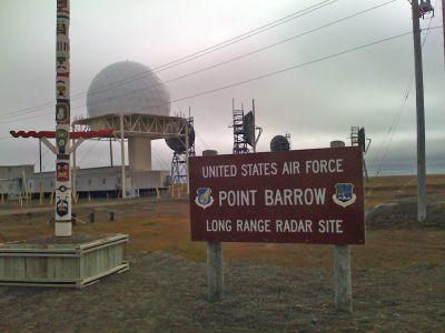
Point Barrow Long Range Radar Site, Military radar installation in Point Barrow, Alaska.
Point Barrow Long Range Radar Site is a military radar installation at the northernmost tip of the United States that operates continuous surveillance systems monitoring North America and the Arctic region. The facility contains specialized radar equipment maintained by rotating Air Force personnel and civilian technicians.
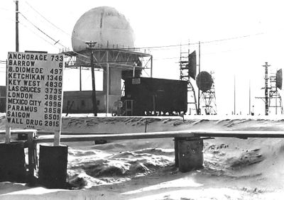
The radar site was established in 1957 as part of the Distant Early Warning Line to monitor potential aerial threats during the Cold War. The station remains one of the key components of North American air defense systems today.
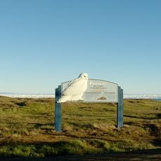
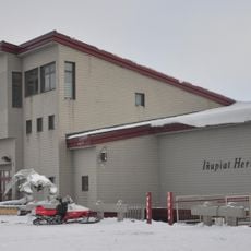
The radar installation sits within a remote Arctic community where personnel experience the rhythm of Iñupiaq traditions that shape life in this northernmost location. The isolation of the station connects staff to local customs that define daily existence in one of Alaska's most extreme environments.
Access to the site requires special authorization and it is located in an area with extreme weather conditions and very limited infrastructure. Visitors should understand this is an active military facility and the surrounding region experiences severe winter conditions year-round.
The station operates under some of the most extreme conditions on Earth, with temperatures dropping below minus 50 degrees Celsius and months of darkness during polar winter nights. Despite these hardships, it remains one of the furthest north and most valuable air surveillance posts in North America.
The community of curious travelers
AroundUs brings together thousands of curated places, local tips, and hidden gems, enriched daily by 60,000 contributors worldwide.