Enable Location

We need your location to show you interesting places around you

Discover nearby places

Find interesting locations and hidden gems around you

Precise directions

Get accurate directions and distances to places

Your location is never shared with other users. It's only used when you tap the location button.

West Hills

Log in to your account

Start exploring — it's free

Trusted by 68,098 travelers worldwide

Continue with Google
Continue with Apple
or

We will send you a code to connect

By continuing, you accept our Terms and Conditions and our Privacy Policy

Check your inbox

We've sent a pincode in your inbox. Please enter the code below.

Discussion Reviews 1 Photos
47k Popularity

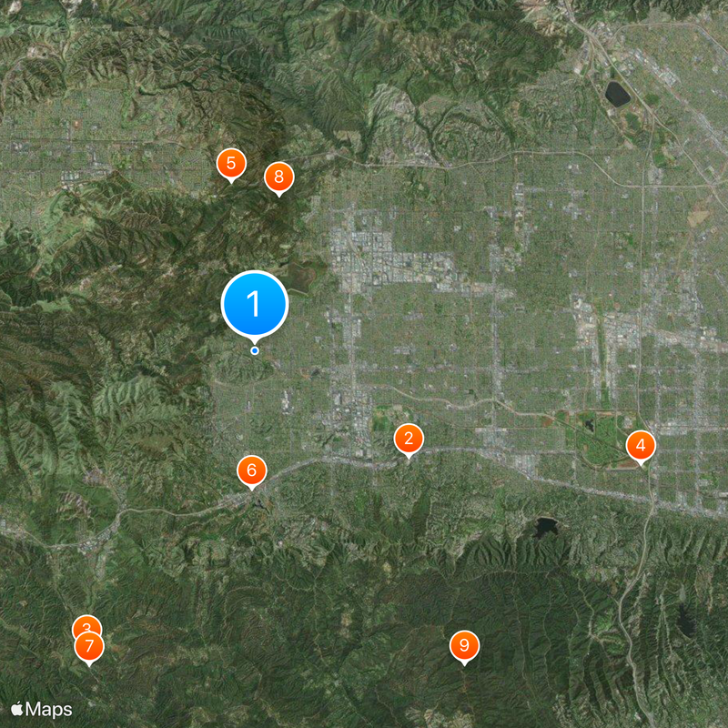
West Hills, Residential neighborhood in San Fernando Valley, Los Angeles, United States

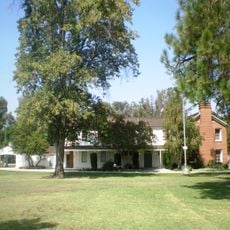
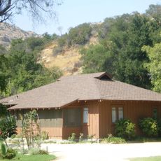
West Hills is a residential neighborhood in Los Angeles's San Fernando Valley that stretches across rolling terrain with numerous single-family homes and apartment complexes. The area is bordered by mountains and features several public parks along with commercial zones that form the backbone of local infrastructure.

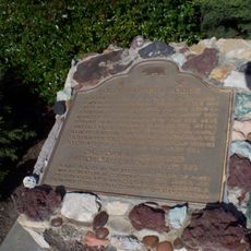
The area was originally named Owensmouth before being renamed West Hills in 1987 after residents submitted a petition for separate identity. This change reflected the community's desire to distinguish itself from neighboring Canoga Park.

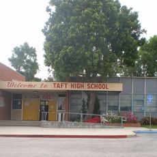
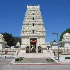
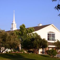
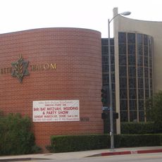
The neighborhood is home to several religious institutions, schools, and community centers that shape daily life for residents. These places serve as gathering spots and form the social fabric of the area.

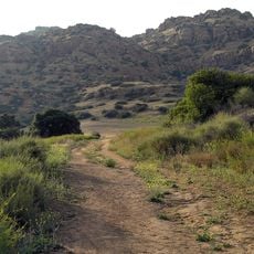
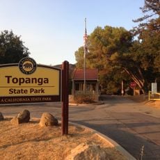
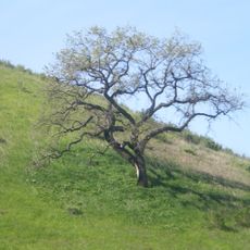
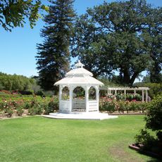
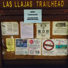
The neighborhood has a hospital and clinics providing medical services, along with several parks that offer recreation and outdoor activities. Visitors should note that the terrain is hilly and comfortable footwear is recommended.

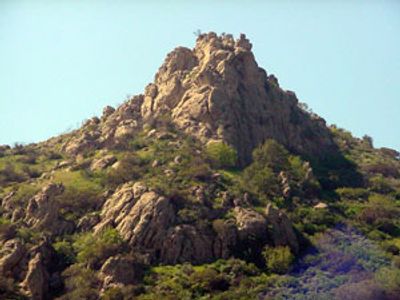
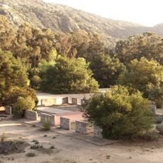
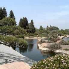
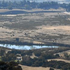
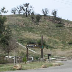
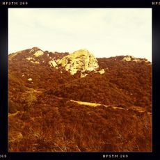
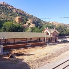
El Escorpión Park features hiking trails leading to El Escorpión Peak, a viewpoint with historical importance to indigenous peoples. The summit served for generations as a key location for trading activities among different tribal groups.

The community of curious travelers

AroundUs brings together thousands of curated places, local tips, and hidden gems, enriched daily by 60,000 contributors worldwide.

Start exploring
Inception
1987
Elevation above the sea
274 m
Shares border with
Bell Canyon
GPS coordinates
34.20640,-118.63900
Latest update
March 5, 2026 21:06
Around this place
William Howard Taft Charter High School
United States of America

William Howard Taft Charter High School

7.4 km
Malibu Creek State Park
United States of America

Malibu Creek State Park

13.5 km
Sepulveda Dam
United States of America

Sepulveda Dam

15.9 km
Corriganville Movie Ranch
United States of America

Corriganville Movie Ranch

6.8 km
Leonis Adobe
United States of America

Leonis Adobe

5.4 km
Malibu Hindu Temple
United States of America

Malibu Hindu Temple

14 km
Santa Susana Pass State Historic Park
United States of America

Santa Susana Pass State Historic Park

6.2 km
Topanga State Park
United States of America

Topanga State Park

14.9 km
The Japanese Garden
United States of America

The Japanese Garden

14.8 km
Shepherd of the Hills Church
United States of America

Shepherd of the Hills Church

10.2 km
Grandma Prisbrey's Bottle Village
United States of America

Grandma Prisbrey's Bottle Village

10.1 km
Upper Las Virgenes Canyon Open Space Preserve
United States of America

Upper Las Virgenes Canyon Open Space Preserve

6.3 km
Orcutt Ranch Horticulture Center
United States of America

Orcutt Ranch Horticulture Center

1.4 km
Los Encinos State Historic Park
United States of America

Los Encinos State Historic Park

13.9 km
Matadome
United States of America

Matadome

11.1 km
Chatsworth Nature Preserve
United States of America

Chatsworth Nature Preserve

3 km
Topanga Canyon
United States of America

Topanga Canyon

12 km
Shadow Ranch
United States of America

Shadow Ranch

2.2 km
Valley Beth Shalom
United States of America

Valley Beth Shalom

16 km
O'Melveny Park
United States of America

O'Melveny Park

15.9 km
California State University Northridge Botanic Garden
United States of America

California State University Northridge Botanic Garden

10.9 km
Minnie Hill Palmer House
United States of America

Minnie Hill Palmer House

6.5 km
Las Llajas Canyon
United States of America

Las Llajas Canyon

10.8 km
Old Trapper's Lodge
United States of America

Old Trapper's Lodge

5.6 km
Eagle Rock
United States of America

Eagle Rock

12.7 km
Valley Relics Museum
United States of America

Valley Relics Museum

12.8 km
Santa Susana Railroad Depot & Museum
United States of America

Santa Susana Railroad Depot & Museum

6.4 km
Leonis Adobe
United States of America

Leonis Adobe

5.4 km
Show the full map
Reviews
Share your experience

No review yet

Discussions
Start a discussion...

No discussion yet

« West Hills - Residential neighborhood in San Fernando Valley, Los Angeles, United States » is provided by Around Us (aroundus.com). Images and texts are derived from Wikimedia project under a Creative Commons license. You are allowed to copy, distribute, and modify copies of this page, under the conditions set by the license, as long as this note is clearly visible.

Discover hidden gems everywhere you go!

From secret cafés to breathtaking viewpoints, skip the crowded tourist spots and find places that match your style. Our app makes it easy with voice search, smart filtering, route optimization, and insider tips from travelers worldwide. Download now for the complete mobile experience.

Around Us App Screenshot

A unique approach to discovering new places

Le Figaro

All the places worth exploring

France Info

A tailor-made excursion in just a few clicks

20 Minutes

Around Us
Travel Guide & Maps
Download

Send to your phone

QR Code
1

Open the camera app on your mobile.

2

Point at the QR code with your camera. A notification will appear.

3

Tap the notification to open the link.