Chest opened
+${chestReward.xp} XP
Explorer
NOUVEAU ×${chestReward.collectible.quantity}
tapez pour fermer
Chest locked

Open chests in the app

Around Us is built for your phone — chests unlock when you walk, explore and capture nearby places.

Enable Location

We need your location to show you interesting places around you

Discover nearby places

Find interesting locations and hidden gems around you

Precise directions

Get accurate directions and distances to places

Your location is never shared with other users. It's only used when you tap the location button.

Gila Bend

Log in to your account

Start exploring — it's free

Trusted by 72,882 travelers worldwide

Continue with Google
Continue with Apple
or

We will send you a code to connect

By continuing, you accept our Terms and Conditions and our Privacy Policy

Check your inbox

We've sent a pincode in your inbox. Please enter the code below.

Discussion Reviews 1 Photos
1.1k Popularity

Gila Bend, Desert town in Maricopa County, Arizona, United States.

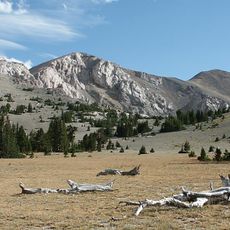
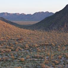
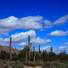
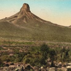
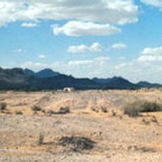
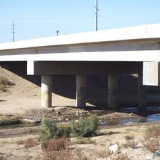
Gila Bend is a desert town in Maricopa County in southwestern Arizona, located where the Gila River makes a distinctive 90-degree turn. The flat terrain displays typical desert vegetation and is crossed by a major modern highway corridor.

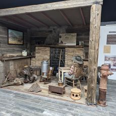
The settlement began in 1865 near a site left by indigenous peoples and later became a railroad hub when tracks were built in 1880. The location along major trade routes helped it grow into a supply point for merchants and travelers passing through.

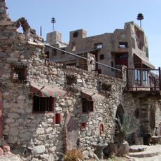
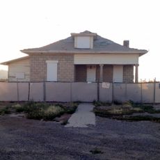
The name comes from the river's sharp bend, and visitors notice how the town serves as a passing point where people stop briefly during their journeys. The settlement maintains its rural character and shows how small desert communities operate in daily life.

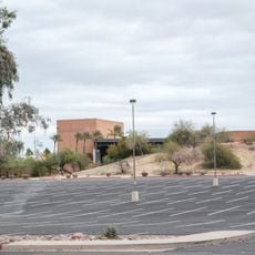
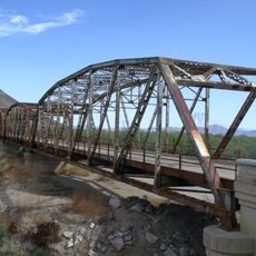
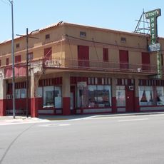
The town sits on the main highway between Phoenix and the California border, offering rest and supply options for travelers. Visitors should know that through traffic is a central feature of this settlement.

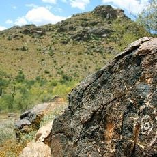
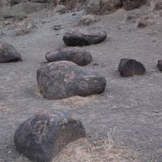
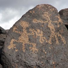
Visitors often miss that the petroglyphs in nearby Painted Rocks State Historic Park were left by various indigenous peoples over a long period. These rock carvings show how different cultures used this land across many generations.

The community of curious travelers

AroundUs brings together thousands of curated places, local tips, and hidden gems, enriched daily by 60,000 contributors worldwide.

Start exploring
Location
Location
Inception
1872
Elevation above the sea
224 m
GPS coordinates
32.95000,-112.72472
Latest update
December 14, 2025 20:04
Around this place
Show the full map
Reviews
Share your experience

No review yet

Discussions
Start a discussion...

No discussion yet

« Gila Bend - Desert town in Maricopa County, Arizona, United States » is provided by Around Us (aroundus.com). Images and texts are derived from Wikimedia project under a Creative Commons license. You are allowed to copy, distribute, and modify copies of this page, under the conditions set by the license, as long as this note is clearly visible.

Discover hidden gems everywhere you go!

From secret cafés to breathtaking viewpoints, skip the crowded tourist spots and find places that match your style. Our app makes it easy with voice search, smart filtering, route optimization, and insider tips from travelers worldwide. Download now for the complete mobile experience.

Around Us App Screenshot

A unique approach to discovering new places

Le Figaro

All the places worth exploring

France Info

A tailor-made excursion in just a few clicks

20 Minutes

Around Us
Travel Guide & Maps
Download

Send to your phone

QR Code
1

Open the camera app on your mobile.

2

Point at the QR code with your camera. A notification will appear.

3

Tap the notification to open the link.