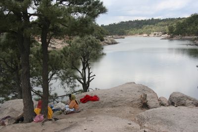
Lake Arareco, Mountain lake in Sierra Madre Occidental, Chihuahua, Mexico.
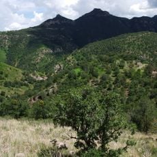
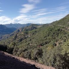
Lake Arareco is a U-shaped body of water at 2,400 meters elevation in the Sierra Madre Occidental, surrounded by pine forests and distinctive rock formations. The waters reflect the steep slopes and forested ridges that frame the lake on all sides.
Tarahumara communities have inhabited this mountainous region for many generations, depending on the lake and its resources for survival. This long presence shaped how people have lived in this highland valley over time.
The Rarámuri community uses the lake and surrounding area for their traditional crafts and holds ceremonies throughout the year. You can see how these practices remain woven into the daily life of people who have called this region home for generations.
The lake sits roughly 14 kilometers south of the town of Creel, which has accommodations and supplies. From Creel, visitors can easily drive to reach the water and also access trails that explore the surrounding forests and waterfalls.
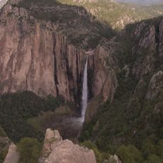
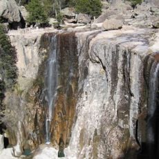
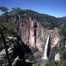
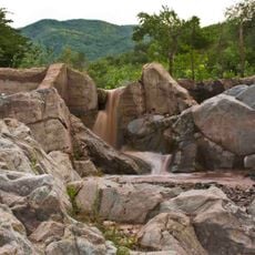
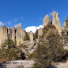
The location sits at a crossroads between different forest types, where pine-oak forests in higher elevations exist alongside other vegetation in lower zones. Nearby stands the Cusárare waterfall, a 30-meter natural drop that can be reached by hiking from the lake area.
The community of curious travelers
AroundUs brings together thousands of curated places, local tips, and hidden gems, enriched daily by 60,000 contributors worldwide.