
Dead Boy Point, cliff in Gila County, Arizona, United States of America
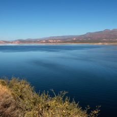
Theodore Roosevelt Lake
45 km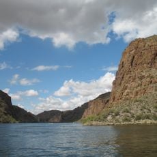
Canyon Lake
61.5 km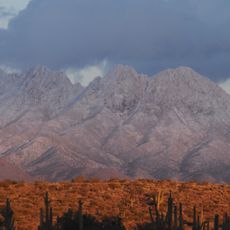
Four Peaks
43.8 km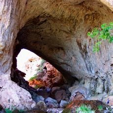
Tonto Natural Bridge
34.7 km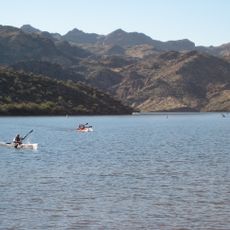
Saguaro Lake
61.9 km
Blue Ridge Reservoir
53.5 km
Skeleton Cave
55.8 km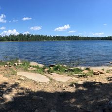
Willow Springs Lake
42.3 km
Wet Beaver Wilderness
47.5 km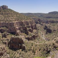
Salt River Canyon Wilderness
60.2 km
Childs-Irving Hydroelectric Facilities
53.1 km
Sears-Kay Ruin
25.5 km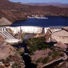
Stewart Mountain Dam
62.6 km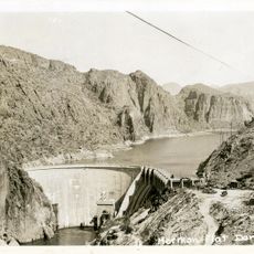
Mormon Flat Dam
60.6 km
Fossil Springs Wilderness
51 km
Roosevelt Lake Bridge
44.6 km
Verde River Sheep Bridge
43.8 km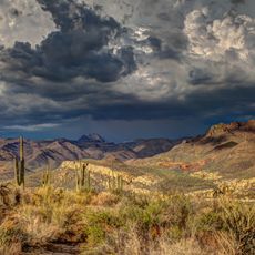
Sierra Ancha Wilderness
42.8 km
Tonto Natural Bridge State Park
34.7 km
Fossil Creek Bridge
51.4 km
Strawberry Schoolhouse
45.8 km
Pleasant Valley Ranger Station
27.4 km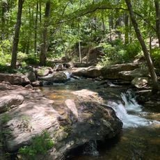
Horton Creek Trail #285
34.8 km
Tonto National Monument Visitor Center
48.5 km
Verde River Golf and Social Club
56 km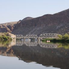
Boulder Creek Bridge
62.2 km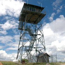
Aztec Peak Lookout
41.5 km
Moqui Lookout
55.4 kmReviews
Visited this place? Tap the stars to rate it and share your experience / photos with the community! Try now! You can cancel it anytime.
Discover hidden gems everywhere you go!
From secret cafés to breathtaking viewpoints, skip the crowded tourist spots and find places that match your style. Our app makes it easy with voice search, smart filtering, route optimization, and insider tips from travelers worldwide. Download now for the complete mobile experience.

A unique approach to discovering new places❞
— Le Figaro
All the places worth exploring❞
— France Info
A tailor-made excursion in just a few clicks❞
— 20 Minutes