Mogollon Rim, Mountain range in Arizona, United States.
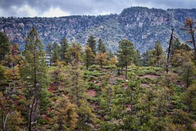
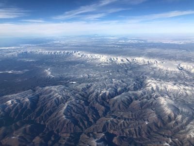
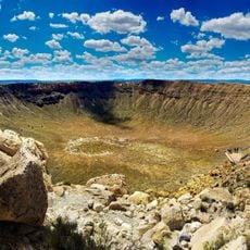
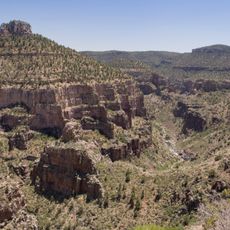
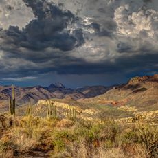
Mogollon Rim is a landform in northern Arizona stretching more than 200 miles and made of limestone and sandstone cliffs that mark the southern edge of the Colorado Plateau. These rock walls drop over 2000 feet (610 meters) and separate the upper tableland from the lower valleys, creating a clear shift in landscape and vegetation.
The formation took its name from a Spanish governor of the early 18th century who ruled in New Mexico. Later, European settlers moved into the region and used the high ground for ranching and timber.
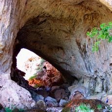
Early inhabitants from several groups made pottery and built dwellings in rock shelters along these cliffs. Hikers today sometimes spot remnants of these old settlements, showing how people once lived here and took advantage of the high ground.
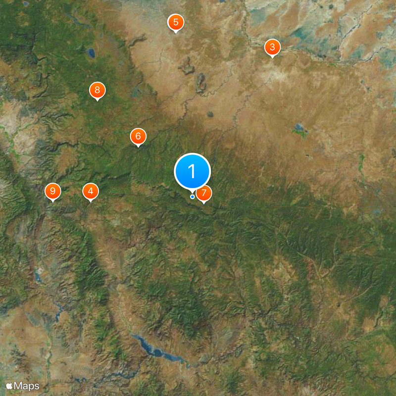
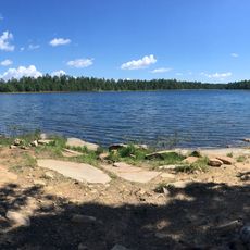
Visitors find several lakes along the edge, including Woods Canyon Lake, Blue Ridge Reservoir, and Willow Springs Lake, where you can fish and boat. Access is mostly by dirt roads, so a vehicle with good clearance helps, especially after rain or in spring.
The escarpment acts as a natural divide between two biological worlds, with plant and animal species from the Rocky Mountains above and those from the Mexican Sierra Madre Occidental on the lower slopes. This split makes the place interesting for anyone curious about ecology and biodiversity.
The community of curious travelers
AroundUs brings together thousands of curated places, local tips, and hidden gems, enriched daily by 60,000 contributors worldwide.