Enable Location

We need your location to show you interesting places around you

Discover nearby places

Find interesting locations and hidden gems around you

Precise directions

Get accurate directions and distances to places

Your location is never shared with other users. It's only used when you tap the location button.

San Pedro y San Pablo Ayutla

Log in to your account

Start exploring — it's free

Trusted by 62,087 travelers worldwide

Continue with Google
Continue with Apple
or

We will send you a code to connect

By continuing, you accept our Terms and Conditions and our Privacy Policy

Check your inbox

We've sent a pincode in your inbox. Please enter the code below.

San Pedro y San Pablo Ayutla

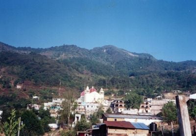
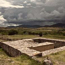
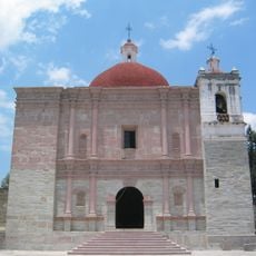
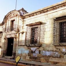
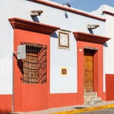
San Pedro y San Pablo Ayutla, Indigenous mountain municipality in Sierra Mixe district, Oaxaca, Mexico

San Pedro y San Pablo Ayutla is a mountain municipality in the Sierra Mixe region of Oaxaca, located at approximately 2,180 meters elevation. The settlement spreads across about 108 square kilometers of hilly terrain with homes nestled among forests and agricultural areas.

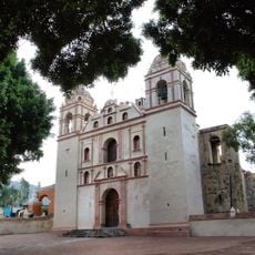
The settlement developed as a key community in the Sierra Norte de Oaxaca and maintained indigenous systems of governance through communal assemblies. This approach to self-management continues to shape how decisions are made in the municipality today.

The community speaks Mixe as part of daily life, with the language woven into family conversations and local gatherings. People gather regularly in assemblies to discuss and decide matters together, keeping their indigenous traditions central to how they live.

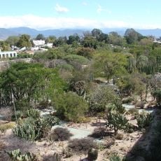
The region has a temperate climate with temperatures ranging from about 2°C to 31°C, and rainfall is heaviest between May and October. Visitors should be prepared for mountainous terrain and varying weather conditions, bringing appropriate clothing depending on the season.

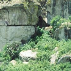
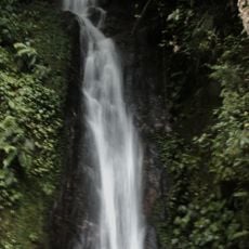
The Cerro de la Cruz is the highest peak in the surrounding area and contains a natural cave formation at its summit. Locals have long valued this cave as a place of significance and it draws visitors curious about the landscape.

The community of curious travelers

AroundUs brings together thousands of curated places, local tips, and hidden gems, enriched daily by 60,000 contributors worldwide.

Start exploring
Elevation above the sea
1,765 m
GPS coordinates
17.02556,-96.08000
Latest update
December 6, 2025 17:41
Traditional sites and natural landscapes in Oaxaca

Oaxaca has archaeological sites like Monte Albán and Mitla, where zapotec and mixtec civilizations built temples and palaces many centuries before the Spanish arrived. The land stretches between mountains in the north and Pacific coasts in the south, with lagoons and beaches such as those at Mazunte...

« San Pedro y San Pablo Ayutla - Indigenous mountain municipality in Sierra Mixe district, Oaxaca, Mexico » is provided by Around Us (aroundus.com). Images and texts are derived from Wikimedia project under a Creative Commons license. You are allowed to copy, distribute, and modify copies of this page, under the conditions set by the license, as long as this note is clearly visible.

Discover hidden gems everywhere you go!

From secret cafés to breathtaking viewpoints, skip the crowded tourist spots and find places that match your style. Our app makes it easy with voice search, smart filtering, route optimization, and insider tips from travelers worldwide. Download now for the complete mobile experience.

Around Us App Screenshot

A unique approach to discovering new places

Le Figaro

All the places worth exploring

France Info

A tailor-made excursion in just a few clicks

20 Minutes

Around Us
Travel Guide & Maps
Download

Send to your phone

QR Code
1

Open the camera app on your mobile.

2

Point at the QR code with your camera. A notification will appear.

3

Tap the notification to open the link.