
Alto Tambo, village in Ecuador
Location: San Lorenzo Canton
Location: Esmeraldas Province
GPS coordinates: 0.91426,-78.54347
Latest update: March 25, 2025 10:00
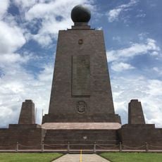
Ciudad Mitad del Mundo
102.5 km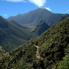
Pululahua Geobotanical Reserve
97.9 km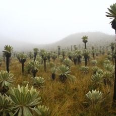
El Ángel Ecological Reserve
73.2 km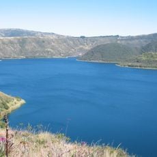
Cuicocha
71.2 km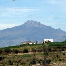
Chiles volcano
68.3 km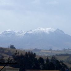
Cumbal
73.2 km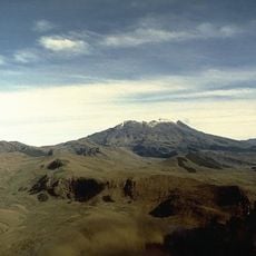
Volcán Azufral
93.8 km
Imbabura Volcano
83.9 km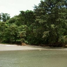
Manglares Cayapas-Mataje Ecological Reserve
60.5 km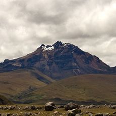
Sincholagua Volcano
98.3 km
Cotacachi Cayapas Ecological Reserve
38.6 km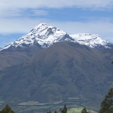
Cotacachi Volcano
65.3 km
Cultural Complex Fabrica Imbabura
75.5 km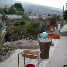
Museo Solar Intiñán
102.3 km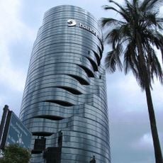
Torre Urban Plaza
79.4 km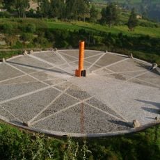
Quitsato Sundial
109.7 km
Imbabura UNESCO Global Geopark
76.1 km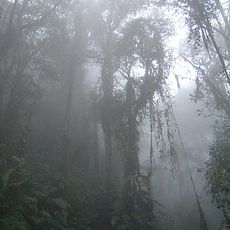
Bellavista Cloud Forest Reserve
104.7 km
Catequilla
102.6 km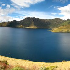
Mojanda
95.3 km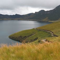
Lagunas de mojanda
91.7 km
Intiñan Equator Museum
102.4 km
Unidad Educativa "Bolívar"
94 km
Laguna Verde (Nariño)
93.9 km
Maquipucuna
104 km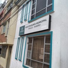
Registraduría Nacional Del Estado Civil
101.6 km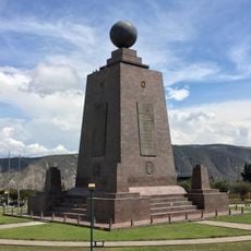
Monumento a la Mitad del Mundo
102.5 km
Mindo-Nambillo Ecological Reserve
111.6 kmReviews
Visited this place? Tap the stars to rate it and share your experience / photos with the community! Try now! You can cancel it anytime.
Discover hidden gems everywhere you go!
From secret cafés to breathtaking viewpoints, skip the crowded tourist spots and find places that match your style. Our app makes it easy with voice search, smart filtering, route optimization, and insider tips from travelers worldwide. Download now for the complete mobile experience.

A unique approach to discovering new places❞
— Le Figaro
All the places worth exploring❞
— France Info
A tailor-made excursion in just a few clicks❞
— 20 Minutes