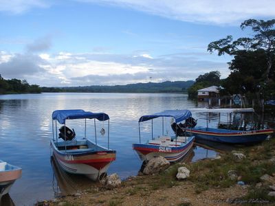
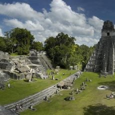
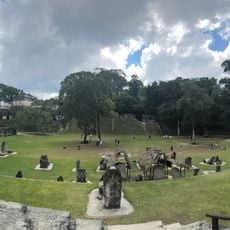
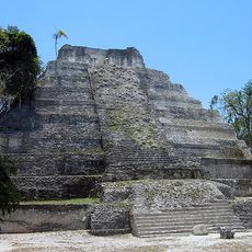
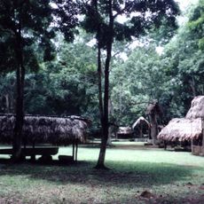
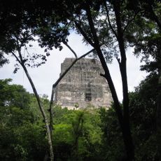
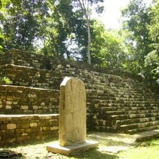
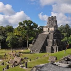
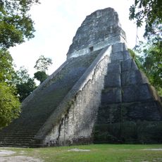
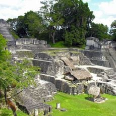
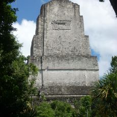
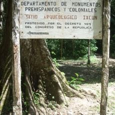
La Libertad, El Petén, municipality of Peten Department, Guatemala
Location: Petén Department
Inception: 1795
Elevation above the sea: 209 m
Shares border with: Chiapas, Tabasco, Las Cruces, El Petén, Sayaxché, San Francisco, El Petén, San Benito, El Petén
GPS coordinates: 16.78611,-90.11667
Latest update: April 3, 2025 21:49
Tikal
71.5 km
Tikal Temple I
71.5 km
Tikal National Park
71.6 km
Petén Basin
26.3 km
Yaxha
82.7 km
Dos Pilas
40.8 km
Tikal Temple IV
71.1 km
Aguateca
44.3 km
Tikal Temple II
71.4 km
Tikal Temple V
71.3 km
Tikal Temple 33
71.5 km
Tayasal
29.4 km
Tikal Temple III
71.3 km
Ixlu
50.3 km
La Blanca
73 km
El Chal
52.6 km
Holtun
80.4 km
Ixkun
78.9 km
Ucanal
82.2 km
La Amelia
43.6 km
Zapote Bobal
61.2 km
Actún Can
26.9 km
Museo Regional del Sureste de Petén
80.6 km
Estadio Julián Tesucún
31.4 km
Sitio Arqueologico Yaxha
82.9 km
Museo Regional Del Mundo Maya
30.1 km
Playa Romelia
30.3 km
Great Plaza
71.5 kmVisited this place? Tap the stars to rate it and share your experience / photos with the community! Try now! You can cancel it anytime.
Discover hidden gems everywhere you go!
From secret cafés to breathtaking viewpoints, skip the crowded tourist spots and find places that match your style. Our app makes it easy with voice search, smart filtering, route optimization, and insider tips from travelers worldwide. Download now for the complete mobile experience.
A unique approach to discovering new places❞
— Le Figaro
All the places worth exploring❞
— France Info
A tailor-made excursion in just a few clicks❞
— 20 Minutes