
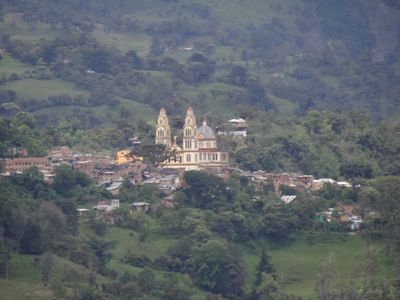
Rondón, Colombian municipality of the department of Boyacá
Location: Lengupá Province
Location: Boyacá Department
Inception: June 30, 1904
Elevation above the sea: 2,075 m
Website: http://rondon-boyaca.gov.co/sitio.shtml
GPS coordinates: 5.35667,-73.20861
Latest update: April 7, 2025 20:30
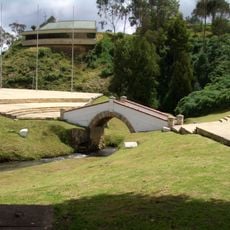
Puente de Boyacá
26.7 km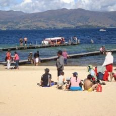
Playa Blanca
32 km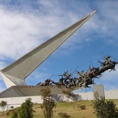
Vargas Swamp Lancers
44.9 km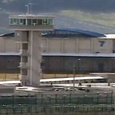
Cárcel de Cómbita
36.2 km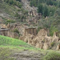
Candelaria Desert
49.2 km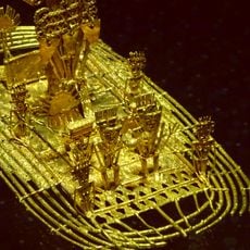
Hunzahúa Well
26.3 km
Iguaque Fauna and Flora Sanctuary
44.6 km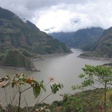
Embalse de Chivor
47.1 km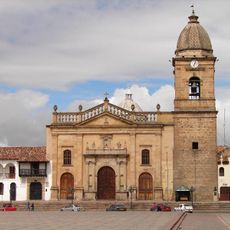
Cathedral Basilica of St. James the Apostle, Tunja
26 km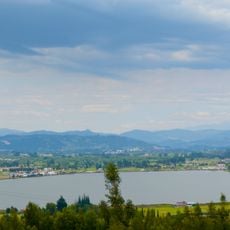
Sochagota Lake
46.9 km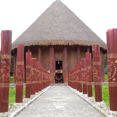
Sun Temple
50.4 km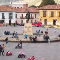
Plaza de Bolívar
25.9 km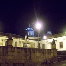
La pila del mono
26.3 km
Paja Formation
36 km
Páramo de Guacheneque
35.1 km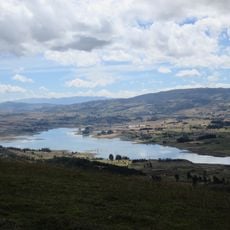
Embalse de La Copa
28.6 km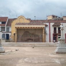
Paredón de los Mártires
25.7 km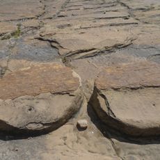
Cojines del Zaque
26.3 km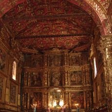
Iglesia de Santo Domingo (Tunja)
26.6 km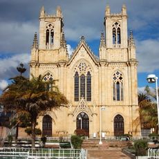
Iglesia de Firavitoba
42.3 km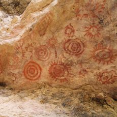
Yacimiento rupestre de Sáchica
43.3 km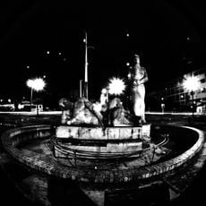
Monumento a la Raza Indígena
26.3 km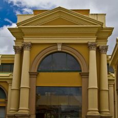
Plaza Real de Tunja
26.3 km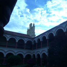
Claustro de San Agustín (Tunja)
26.6 km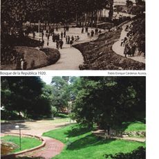
Bosque de la República
26.3 km
Iglesia de las Nieves (Tunja)
26.6 km
Alto de San Lázaro
27.2 km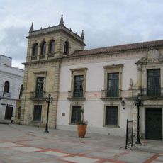
Palacio de la Torre
26.3 kmReviews
Visited this place? Tap the stars to rate it and share your experience / photos with the community! Try now! You can cancel it anytime.
Discover hidden gems everywhere you go!
From secret cafés to breathtaking viewpoints, skip the crowded tourist spots and find places that match your style. Our app makes it easy with voice search, smart filtering, route optimization, and insider tips from travelers worldwide. Download now for the complete mobile experience.

A unique approach to discovering new places❞
— Le Figaro
All the places worth exploring❞
— France Info
A tailor-made excursion in just a few clicks❞
— 20 Minutes