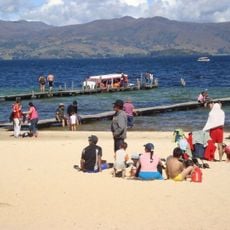
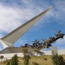
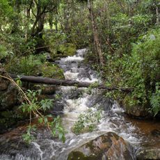
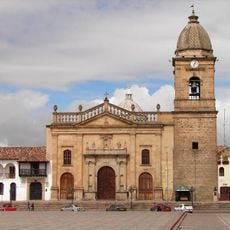
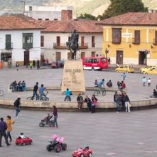
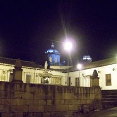
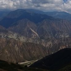
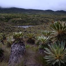
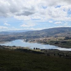
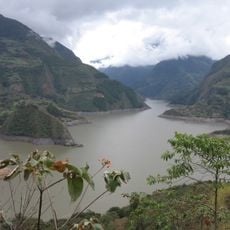
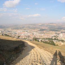
Lengupá Province, province in Boyacá, Colombia
The community of curious travelers
AroundUs brings together thousands of curated places, local tips, and hidden gems, enriched daily by 60,000 contributors worldwide.
Location
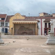
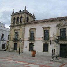
Capital city
Miraflores
GPS coordinates
5.19639,-73.14444
Latest update
March 16, 2025 03:04