
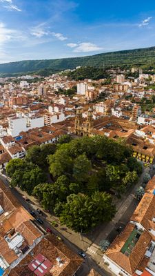
San Gil, Colombian municipality of the department of Santander
Location: Santander Department
Inception: 16
Elevation above the sea: 1,247 m
Website: http://sangil-santander.gov.co
GPS coordinates: 6.55500,-73.13361
Latest update: March 18, 2025 10:35
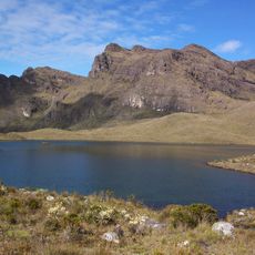
Páramo de Santurbán
82.9 km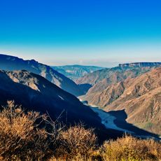
Chicamocha Canyon
32.1 km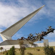
Vargas Swamp Lancers
91.2 km
Chicamocha National Park
29.8 km
Cárcel de Cómbita
98.8 km
Pisba National Natural Park
96.8 km
Provincial Viaduct
61.6 km
Ritacuba Blanco
92.8 km
Ocetá Páramo
101 km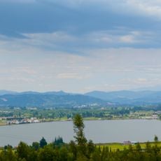
Sochagota Lake
87.6 km
Sun Temple
96.9 km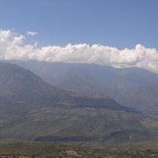
Yariguíes National Park
33.1 km
Archaeology Museum
96.9 km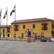
Casa del Fundador Gonzalo Suárez Rendón
90.9 km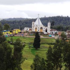
Morcá
96.8 km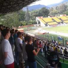
Estadio Álvaro Gómez Hurtado
55.6 km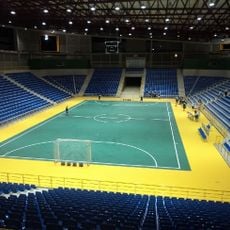
Coliseo Bicentenario
65 km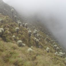
Sisavita Nature Park
100.2 km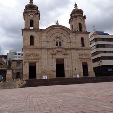
St. Lawrence Cathedral, Duitama
81.7 km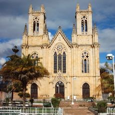
Iglesia de Firavitoba
99.9 km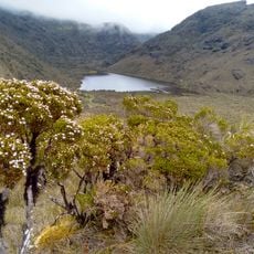
Parque Natural Regional Santurbán Mutiscua-Pamplona
93.7 km
Berlín (Kolumbien)
75.8 km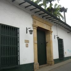
Musée historique du Santander
62.6 km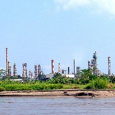
Raffinerie de Barrancabermeja
100.9 km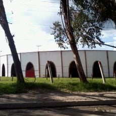
Plaza de Toros La Pradera
94.3 km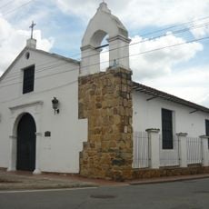
Chapelle de Los Dolores
62.6 km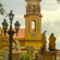
Catedral Nuestra Señora de las Nieves, Vélez
84.8 km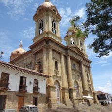
Co-Cathedral Basilica of Our Lady of Help, Socorro
17 kmVisited this place? Tap the stars to rate it and share your experience / photos with the community! Try now! You can cancel it anytime.
Discover hidden gems everywhere you go!
From secret cafés to breathtaking viewpoints, skip the crowded tourist spots and find places that match your style. Our app makes it easy with voice search, smart filtering, route optimization, and insider tips from travelers worldwide. Download now for the complete mobile experience.

A unique approach to discovering new places❞
— Le Figaro
All the places worth exploring❞
— France Info
A tailor-made excursion in just a few clicks❞
— 20 Minutes