Chest opened
+${chestReward.xp} XP
Explorer
NOUVEAU ×${chestReward.collectible.quantity}
tapez pour fermer
Chest locked

Open chests in the app

Around Us is built for your phone — chests unlock when you walk, explore and capture nearby places.

Enable Location

We need your location to show you interesting places around you

Discover nearby places

Find interesting locations and hidden gems around you

Precise directions

Get accurate directions and distances to places

Your location is never shared with other users. It's only used when you tap the location button.

Capitanejo

Log in to your account

Start exploring — it's free

Trusted by 72,880 travelers worldwide

Continue with Google
Continue with Apple
or

We will send you a code to connect

By continuing, you accept our Terms and Conditions and our Privacy Policy

Check your inbox

We've sent a pincode in your inbox. Please enter the code below.

Discussion Reviews 1 Photos
11.5k Popularity

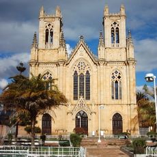
Capitanejo, Municipality in García Rovira province, Santander Department, Colombia

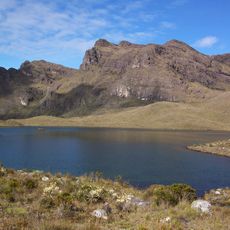
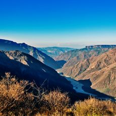
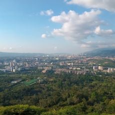
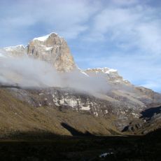
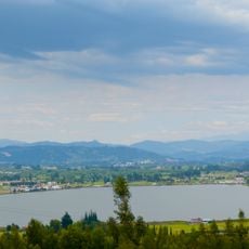
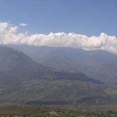
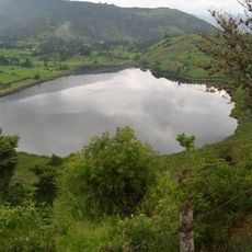
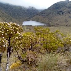
Capitanejo sits at roughly 1090 meters elevation along the Chicamocha River and spans mountainous terrain across about 81 square kilometers. The landscape features hills and valleys with the river running through the area.

The region was originally home to the Chitareros people before Spanish conquistadors arrived and encountered their leader Cacique Don Bernabe. These early meetings shaped how the territory developed over time.

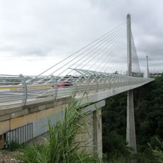
Residents rely on the traditional Cabuya system for crossing the river where bridges do not exist. This method shapes daily life and shows how people adapt to the landscape around them.

The municipality sits about 197 kilometers from Bucaramanga and connects to other areas through Route 55 of the Troncal Central del Norte highway. The road makes travel to nearby cities straightforward.

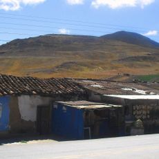
Tobacco farming is the main agricultural activity here and depends heavily on goat and cattle raising across the warm tropical landscape. This combination defines much of the local economy.

The community of curious travelers

AroundUs brings together thousands of curated places, local tips, and hidden gems, enriched daily by 60,000 contributors worldwide.

Start exploring
Elevation above the sea
1,090 m
GPS coordinates
6.53028,-72.69778
Latest update
December 8, 2025 13:40
Reviews
Share your experience

No review yet

Discussions
Start a discussion...

No discussion yet

« Capitanejo - Municipality in García Rovira province, Santander Department, Colombia » is provided by Around Us (aroundus.com). Images and texts are derived from Wikimedia project under a Creative Commons license. You are allowed to copy, distribute, and modify copies of this page, under the conditions set by the license, as long as this note is clearly visible.

Discover hidden gems everywhere you go!

From secret cafés to breathtaking viewpoints, skip the crowded tourist spots and find places that match your style. Our app makes it easy with voice search, smart filtering, route optimization, and insider tips from travelers worldwide. Download now for the complete mobile experience.

Around Us App Screenshot

A unique approach to discovering new places

Le Figaro

All the places worth exploring

France Info

A tailor-made excursion in just a few clicks

20 Minutes

Around Us
Travel Guide & Maps
Download

Send to your phone

QR Code
1

Open the camera app on your mobile.

2

Point at the QR code with your camera. A notification will appear.

3

Tap the notification to open the link.