Nicoya Canton, Administrative territory in Guanacaste Province, Costa Rica.
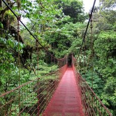
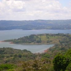
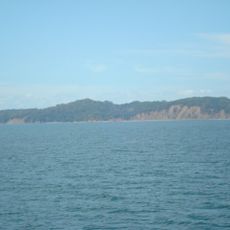
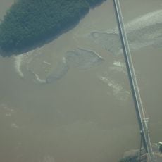
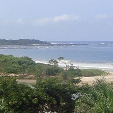
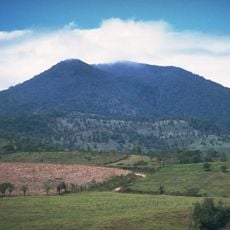
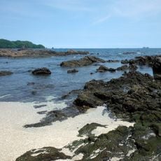
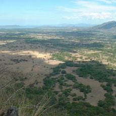
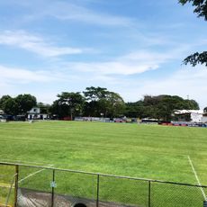
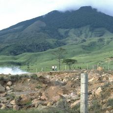
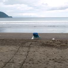
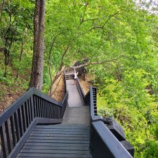
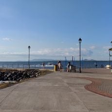
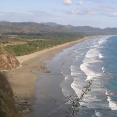
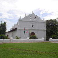
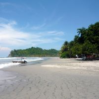
Nicoya Canton is an administrative region in Guanacaste Province that spans diverse landscapes, from rolling hills to coastal areas. The territory includes seven districts, each serving residents and visitors with different roles and characteristics.
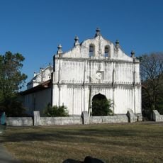
The area was once the largest indigenous chiefdom on Costa Rica's Pacific coast before Spanish colonizers arrived in the 16th century. Its location made it a key trading point between neighboring regions.
The area maintains local traditions through regular celebrations, crafts, and daily customs that connect people to their past. These practices shape how residents use and experience their communities today.
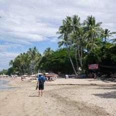
Route 21 connects the different parts of the region and makes travel between districts and to the coast easier. Visitors can find banks, markets, and basic services in the central areas, especially in the larger towns.
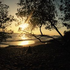
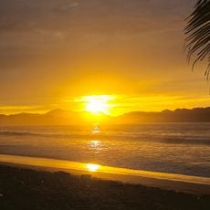
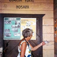
The area is known as a Blue Zone, where residents regularly live well into their nineties and beyond. This phenomenon draws researchers and visitors seeking to understand how local life and environment contribute to long lives.
Location: Guanacaste Province
Capital city: Nicoya
Elevation above the sea: 205 m
Shares border with: Santa Cruz Canton, Bagaces Canton, Cañas Canton, Nandayure Canton, Hojancha Canton
Website: https://nicoya.go.cr
GPS coordinates: 10.20000,-85.43250
Latest update: December 7, 2025 20:47
Monteverde Cloud Forest Reserve
71.6 km
Lake Arenal
66.1 km
San Lucas Island
64.7 km
Playas del Coco
48.6 km
Puente La Amistad de Taiwán
21.1 km
Las Baulas National Marine Park
49.2 km
Volcán Tenorio
69.6 km
Palo Verde National Park
25 km
Playa Negra
43.5 km
Ostional Wildlife Refuge
40.8 km
Church of Saint Blaise of Nicoya
6.6 km
Playa Conchal
47.1 km
Barra Honda National Park
11.2 km
Estadio Asociación Cívica Jicaraleña
43.6 km
Monteverde Theme Park
67.6 km
Miravalles National Park
67.9 km
Llanos de Cortés Waterfall
39 km
Playa Virador
53.8 km
Phare de Puntarenas
68.4 km
Monteverde Orchid Garden
68 km
Samara Beach
37.6 km
Santa Teresa Beach
67.3 km
Tamarindo Beach
46.3 km
Playa San Miguel
45.3 km
Playa La Islita
38.8 km
Hermosa Beach
49.6 km
Tambor Beach
69.1 km
Playa Arenilla
50.6 kmVisited this place? Tap the stars to rate it and share your experience / photos with the community! Try now! You can cancel it anytime.
Discover hidden gems everywhere you go!
From secret cafés to breathtaking viewpoints, skip the crowded tourist spots and find places that match your style. Our app makes it easy with voice search, smart filtering, route optimization, and insider tips from travelers worldwide. Download now for the complete mobile experience.
A unique approach to discovering new places❞
— Le Figaro
All the places worth exploring❞
— France Info
A tailor-made excursion in just a few clicks❞
— 20 Minutes