Enable Location

We need your location to show you interesting places around you

Discover nearby places

Find interesting locations and hidden gems around you

Precise directions

Get accurate directions and distances to places

Your location is never shared with other users. It's only used when you tap the location button.

Bijagua

Log in to your account

Start exploring — it's free

Trusted by 62,100 travelers worldwide

Continue with Google
Continue with Apple
or

We will send you a code to connect

By continuing, you accept our Terms and Conditions and our Privacy Policy

Check your inbox

We've sent a pincode in your inbox. Please enter the code below.

Bijagua, Mountain district in Upala Canton, Costa Rica

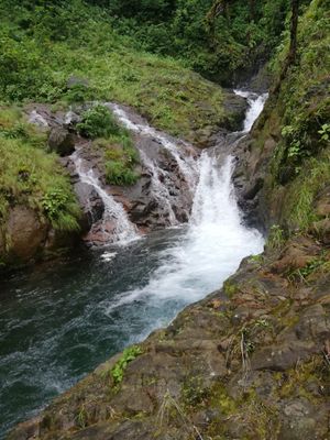
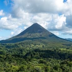
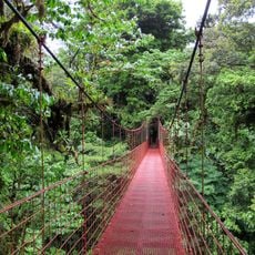
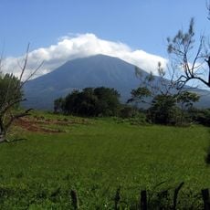
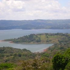
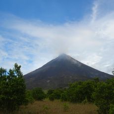
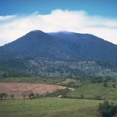
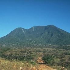
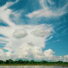
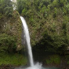
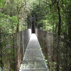
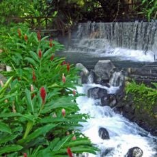
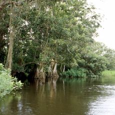
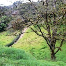
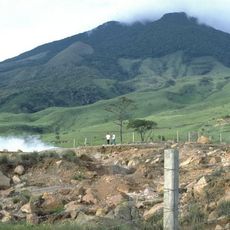
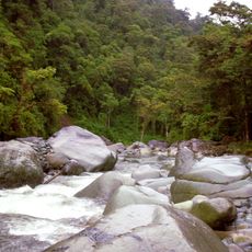
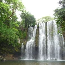
Bijagua is a district in Upala Canton nestled between two volcanoes at about 1,400 feet (430 meters) elevation. The area offers numerous hiking trails through dense tropical forests alongside farmland.

The settlement grew from farming communities in the northern central region, built on strong coffee and fruit growing traditions. These origins continue to shape the area's economic foundation today.

The community here centers on small-scale farming and local crafts that shape daily routines and the village character. These practices remain visible in how people organize their work and maintain the surrounding lands.

The area is accessible via Route 6 with regular buses to major Costa Rican cities and lodging options near nature reserves throughout the region. Visitors should prepare for humid weather and some unpaved forest trails.

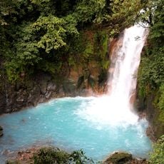
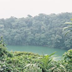
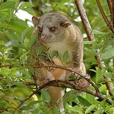
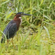
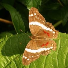
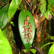
Protected forest areas here are home to sloths, toucans, and rare amphibians living in their natural habitat. These wildlife viewing opportunities make the area particularly rewarding for nature enthusiasts.

The community of curious travelers

AroundUs brings together thousands of curated places, local tips, and hidden gems, enriched daily by 60,000 contributors worldwide.

Start exploring
Location
Elevation above the sea
430 m
Address
Alajuela Province, Bijagua de Upala, Costa Rica
GPS coordinates
10.74836,-85.03870
Latest update
December 14, 2025 12:26
« Bijagua - Mountain district in Upala Canton, Costa Rica » is provided by Around Us (aroundus.com). Images and texts are derived from Wikimedia project under a Creative Commons license. You are allowed to copy, distribute, and modify copies of this page, under the conditions set by the license, as long as this note is clearly visible.

Discover hidden gems everywhere you go!

From secret cafés to breathtaking viewpoints, skip the crowded tourist spots and find places that match your style. Our app makes it easy with voice search, smart filtering, route optimization, and insider tips from travelers worldwide. Download now for the complete mobile experience.

Around Us App Screenshot

A unique approach to discovering new places

Le Figaro

All the places worth exploring

France Info

A tailor-made excursion in just a few clicks

20 Minutes

Around Us
Travel Guide & Maps
Download

Send to your phone

QR Code
1

Open the camera app on your mobile.

2

Point at the QR code with your camera. A notification will appear.

3

Tap the notification to open the link.