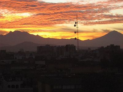
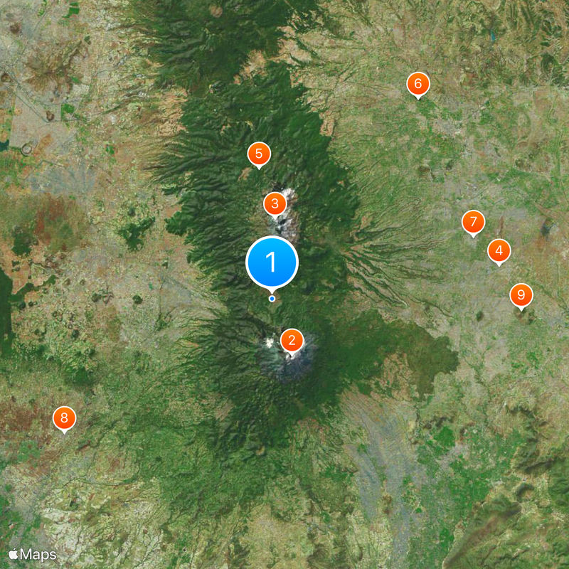
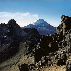
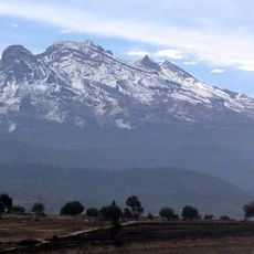
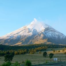
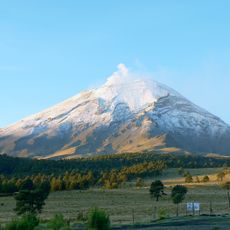
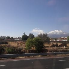
Paso de Cortés, Mountain pass between Popocatépetl and Ixtaccíhuatl volcanoes in central Mexico.
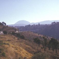
Paso de Cortés is a mountain pass in central Mexico situated between the volcanoes Popocatépetl and Ixtaccíhuatl. The paved Tlamacaxco road runs through the Izta-Popo Zoquiapan National Park for approximately 44 kilometers, connecting Amecameca de Juárez with San Nicolás de Los Ranchos.
In 1519, Hernán Cortés led his troops through this pass on their way to Tenochtitlán to confront Emperor Moctezuma. The route later became an important link between highland settlements on either side.
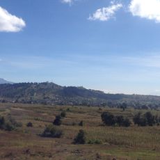
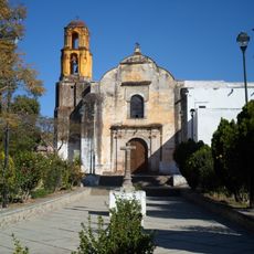
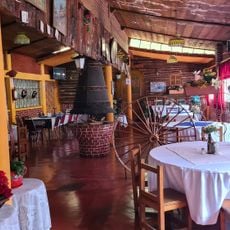
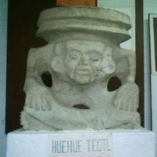
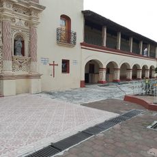
The name honors Hernán Cortés, the Spanish conquistador whose passage through here became part of local memory and identity. Communities in the surrounding region continue to inhabit and use this highland area as an integral part of their daily lives.
The summit sits at 3,692 meters (12,112 feet) in elevation with an information center and parking facilities available at the top. Visitors should prepare for cool temperatures and changing weather conditions, especially at higher elevations along the route.
The pass serves as a starting point for reaching Estación de Altura Altzomoni, a weather station located at 3,985 meters (13,071 feet) high. This research station has been monitoring regional weather patterns and atmospheric conditions for decades.
The community of curious travelers
AroundUs brings together thousands of curated places, local tips, and hidden gems, enriched daily by 60,000 contributors worldwide.