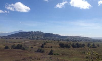
Cerro Zapotecas, Protected volcanic hill in Cholula, Mexico
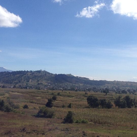
Cerro Zapotecas is a protected volcanic hill in the Puebla-Tlaxcala valley at roughly 2,380 meters (7,800 feet) elevation, covering about 536 hectares of natural terrain. Its landscape combines natural formations with archaeological layers from multiple settlement phases.
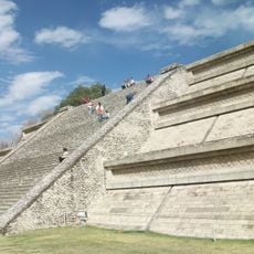
Human presence on the hill dates to the Late Preclassic, around the 2nd century CE. When the area around the Great Pyramid of Cholula was abandoned around 600 CE, the hill sheltered the Cholulteca population. Temple foundations, residential structures and a ball court were later found on the main terrace, with hydraulic works in the crater; the occupation is linked to power struggles between Teotihuacan and the Gulf coast, which ended with an Olmec-Xicalanca outpost at nearby Cacaxtla around 650.
The name derives from the Nahuatl tzapotēcatl, meaning "native of Zapotlán" or "place of the zapotes", given by the ethnically Zapotec inhabitants of Tepontla. Three villages — San Cristóbal Tepontla, San Gregorio Zacapechpan and San Francisco Coapa — share the southern slopes, while the northern flank is sparsely settled. Terraces and crater land are still farmed for maize and nopal, with premodern burning practices.
The hill sits about 3 kilometers from Plaza de la Concordia and offers paths for hiking, mountain biking, and motocross activities. Visitors should wear sturdy footwear and be prepared for uneven terrain and changing elevations.
The reserve holds the last remaining wooded area in the region and serves as a critical recharge zone for the city's groundwater system. This role makes the hill ecologically essential for the surrounding urban area.
The community of curious travelers
AroundUs brings together thousands of curated places, local tips, and hidden gems, enriched daily by 93,762 contributors worldwide.