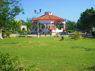
Bacalar, Colonial town in Quintana Roo, Mexico
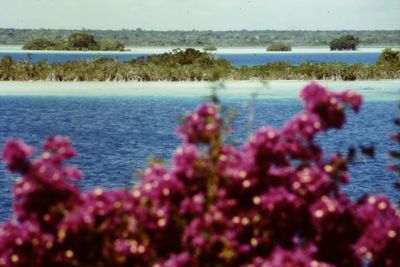
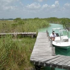
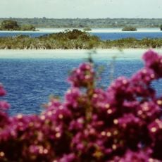
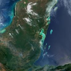
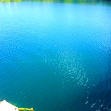
Bacalar is a locality in Bacalar Municipality in the state of Quintana Roo in Mexico, set along the edge of a large freshwater lagoon. The lagoon itself stretches roughly 42 kilometers (26 miles) in length and displays several shades of blue caused by the pale limestone floor beneath the clear water.
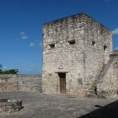
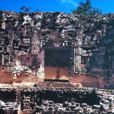
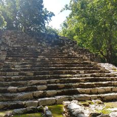
Spanish colonists built Fort San Felipe in 1729 as a defense against pirates who repeatedly attacked the trading port. Later, the settlement served as a refuge during the 19th-century Caste War and became a trading post linking the Caribbean coast with the interior.
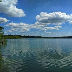
The word Bacalar comes from the Mayan language and means "place where reeds grow", which is still visible along the quieter stretches of the waterfront. Visitors today notice small wooden piers where families gather at sunset and local guides prepare boats for morning tours across the shallow water.
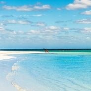
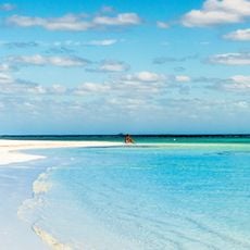
Water access is available at several points around the settlement, including Los Rapidos, where shallow currents allow swimming and kayaking. Visitors should bring water shoes and sun protection, as shaded areas along the shoreline are limited.
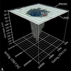
The lagoon holds ancient stromatolites, some of the oldest life forms on Earth, which continue to grow underwater here. Several cenotes within the lagoon system reach depths of up to 90 meters (295 feet) and together form the second largest freshwater reserve in Mexico.
The community of curious travelers
AroundUs brings together thousands of curated places, local tips, and hidden gems, enriched daily by 60,000 contributors worldwide.