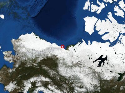
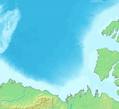
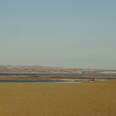
Beaufort Sea, Marginal sea between Alaska and Northwest Territories, Arctic Ocean.
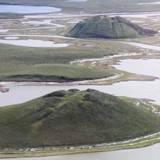
The Beaufort Sea stretches between Alaska and the Northwest Territories as part of the Arctic Ocean. Its seafloor drops to over 3,000 meters (almost 10,000 feet) in places and forms a wide underwater basin.
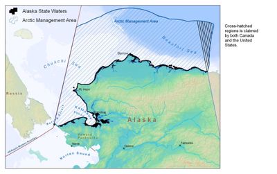
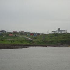
British Admiral Francis Beaufort gave the sea its name in the 19th century through his work on the wind force scale. Oil discoveries in the 1960s transformed the region and brought industrial development to the remote coastline.
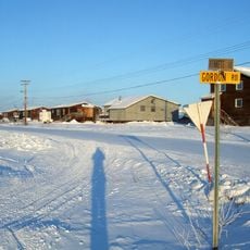
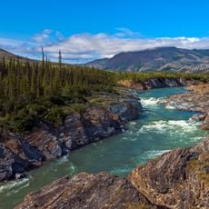
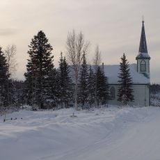
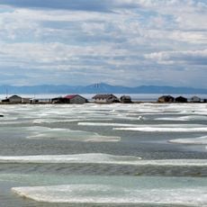
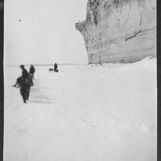
Coastal inhabitants navigate using ice conditions and seasonal patterns that shape movement across the water. This knowledge passes through generations and determines when and how the sea becomes accessible.
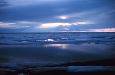
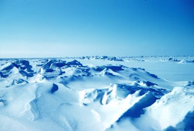
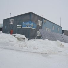
The ice cover expands in winter and recedes in summer, changing accessibility throughout the year. Visitors to the coast should prepare for extreme cold and sudden weather shifts.
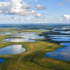
Beneath the surface several water layers sit on top of each other, each with different temperatures and salt levels. This layering influences ocean currents and life in the depths.
The community of curious travelers
AroundUs brings together thousands of curated places, local tips, and hidden gems, enriched daily by 60,000 contributors worldwide.