Mount Meager, Stratovolcano in Pacific Ranges, British Columbia, Canada
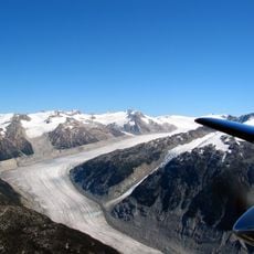
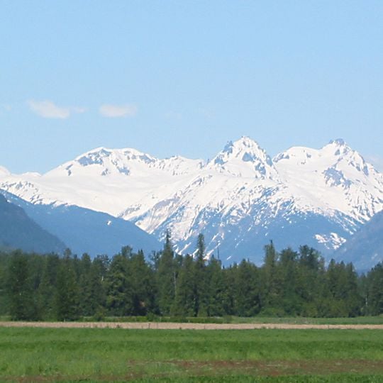
Mount Meager is a massif of volcanic peaks in the Pacific Ranges of the Coast Mountains, 150 km north of Vancouver at the head of the Pemberton Valley. Its highest point, Plinth Peak, reaches 2,645 or 2,680 m. The massif is built of lava domes, volcanic plugs and stacked dacitic and andesitic lava flows over a kilometre thick, with rhyodacite necks forming the summits. Snow covers the upper slopes, and dark rock ridges and gullies break through above the treeline.
The massif began forming during the Pliocene and erupted through the Holocene. Its last eruption, around 410 BC, was Canada's largest explosive eruption of the Holocene, rated 5 on the explosivity index. This Plinian event sent pyroclastic flows down the northeastern flank of Plinth Peak, producing lahars, a three-kilometre rhyodacitic lava flow, lava domes and ashfall reaching Alberta.
The massif lies in the territory of the Lillooet (St'át'imc) people, whose name for it is Q̓welq̓welústen. The mountain's hot springs and the crater on its northeastern flank are among the features tied to the area's long use and oral traditions. Visitors travelling up the Lillooet River valley pass through this territory.
Visitors should prepare for rapidly changing weather conditions and bring appropriate gear for mountain climbing. The nearest facilities and services are located in Pemberton, so planning ahead is essential for a safe visit.
In 2010, the southern peak collapsed and triggered a massive landslide that dammed Meager Creek. This temporary blockage created a lake extending roughly 4 kilometers through the valley below.
The community of curious travelers
AroundUs brings together thousands of curated places, local tips, and hidden gems, enriched daily by 94,543 contributors worldwide.