Chest opened
+${chestReward.xp} XP
Explorer
NOUVEAU ×${chestReward.collectible.quantity}
tapez pour fermer
Chest locked

Open chests in the app

Around Us is built for your phone — chests unlock when you walk, explore and capture nearby places.

Enable Location

We need your location to show you interesting places around you

Discover nearby places

Find interesting locations and hidden gems around you

Precise directions

Get accurate directions and distances to places

Your location is never shared with other users. It's only used when you tap the location button.

Frazier Park

Log in to your account

Start exploring — it's free

Trusted by 72,965 travelers worldwide

Continue with Google
Continue with Apple
or

We will send you a code to connect

By continuing, you accept our Terms and Conditions and our Privacy Policy

Check your inbox

We've sent a pincode in your inbox. Please enter the code below.

Discussion Reviews 1 Photos
33.8k Popularity

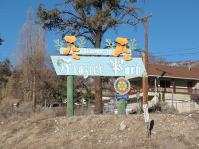
Frazier Park, Mountain community in Kern County, United States.

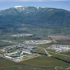
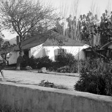
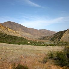
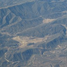
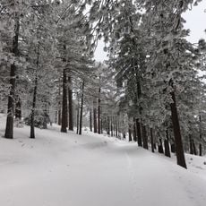
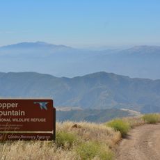
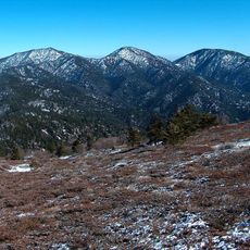
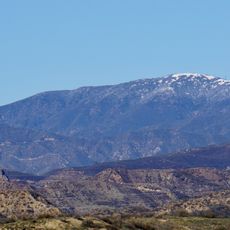
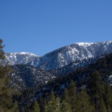
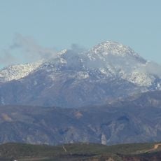
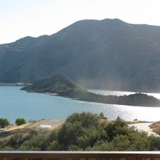
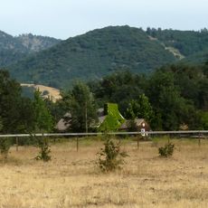
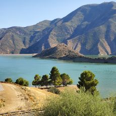
Frazier Park is a mountain community nestled in the San Emigdio Mountains at significant elevation, with winding roads connecting scattered residential areas. The landscape shows dense forest interspersed with open spaces, creating a rural mountain setting with views across forested terrain.

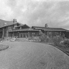
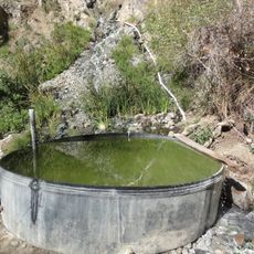
The community took shape in the 1920s but traces its roots to 19th-century timber operations that supplied building materials from this mountain region. Resource extraction shaped early development and the area's connection to the land.

Residents shape the community through seasonal gatherings and craft markets that reflect their connection to mountain living. These events show how people here integrate outdoor traditions into their daily lives throughout the year.

Access involves winding mountain roads that require careful driving, especially during bad weather or winter conditions. The location sits near Interstate 5, which offers connections to larger cities, though the community itself feels remote.

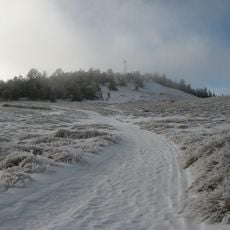
A local school operates at one of the highest elevations for habitation in California, where extreme weather and altitude create an uncommon educational setting. Students experience conditions and outdoor challenges that differ greatly from typical lowland schools.

The community of curious travelers

AroundUs brings together thousands of curated places, local tips, and hidden gems, enriched daily by 60,000 contributors worldwide.

Start exploring
Location
GPS coordinates
34.82278,-118.94472
Latest update
December 19, 2025 23:18
Around this place
Lake Piru
United States of America

Lake Piru

42.6 km
Pyramid Lake
United States of America

Pyramid Lake

25.9 km
California Correctional Institution
United States of America

California Correctional Institution

46.9 km
Castaic Lake
United States of America

Castaic Lake

45.7 km
Mount Pinos
United States of America

Mount Pinos

18.4 km
Fillmore and Western Railway
United States of America

Fillmore and Western Railway

47.3 km
Rancho Camulos
United States of America

Rancho Camulos

49.5 km
Sespe Wilderness
United States of America

Sespe Wilderness

26.9 km
Bitter Creek National Wildlife Refuge
United States of America

Bitter Creek National Wildlife Refuge

40 km
Sespe Condor Sanctuary
United States of America

Sespe Condor Sanctuary

32.8 km
Arthur B. Ripley Desert Woodland State Park
United States of America

Arthur B. Ripley Desert Woodland State Park

41 km
Castaic Lake State Recreation Area
United States of America

Castaic Lake State Recreation Area

44.2 km
Frazier Mountain
United States of America

Frazier Mountain

5.8 km
Chumash Wilderness
United States of America

Chumash Wilderness

24.1 km
Hopper Mountain National Wildlife Refuge
United States of America

Hopper Mountain National Wildlife Refuge

42 km
Charles M. Pratt House
United States of America

Charles M. Pratt House

49.2 km
United States of America

Antimony Peak

16.5 km
Double Mountain
United States of America

Double Mountain

47.9 km
Hines Peak
United States of America

Hines Peak

36.7 km
Willett Hot Springs
United States of America

Willett Hot Springs

29.2 km
St. Thomas Aquinas Chapel
United States of America

St. Thomas Aquinas Chapel

50.1 km
Burnt Peak
United States of America

Burnt Peak

37.1 km
Sawmill Mountain
United States of America

Sawmill Mountain

20.4 km
Cobblestone Mountain
United States of America

Cobblestone Mountain

24.8 km
Vista del Lago
United States of America

Vista del Lago

24.5 km
Fairmont Butte
United States of America

Fairmont Butte

49.8 km
Courtlandt Gross House
United States of America

Courtlandt Gross House

48.4 km
Vaquero Beach
United States of America

Vaquero Beach

24.3 km
Show the full map
Reviews
Share your experience

No review yet

Discussions
Start a discussion...

No discussion yet

« Frazier Park - Mountain community in Kern County, United States » is provided by Around Us (aroundus.com). Images and texts are derived from Wikimedia project under a Creative Commons license. You are allowed to copy, distribute, and modify copies of this page, under the conditions set by the license, as long as this note is clearly visible.

Discover hidden gems everywhere you go!

From secret cafés to breathtaking viewpoints, skip the crowded tourist spots and find places that match your style. Our app makes it easy with voice search, smart filtering, route optimization, and insider tips from travelers worldwide. Download now for the complete mobile experience.

Around Us App Screenshot

A unique approach to discovering new places

Le Figaro

All the places worth exploring

France Info

A tailor-made excursion in just a few clicks

20 Minutes

Around Us
Travel Guide & Maps
Download

Send to your phone

QR Code
1

Open the camera app on your mobile.

2

Point at the QR code with your camera. A notification will appear.

3

Tap the notification to open the link.