Enable Location

We need your location to show you interesting places around you

Discover nearby places

Find interesting locations and hidden gems around you

Precise directions

Get accurate directions and distances to places

Your location is never shared with other users. It's only used when you tap the location button.

Lebec

Log in to your account

Start exploring — it's free

Trusted by 68,364 travelers worldwide

Continue with Google
Continue with Apple
or

We will send you a code to connect

By continuing, you accept our Terms and Conditions and our Privacy Policy

Check your inbox

We've sent a pincode in your inbox. Please enter the code below.

Discussion Reviews 1 Photos
22.9k Popularity

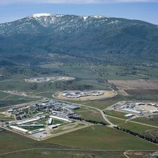
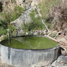
Lebec, Census-designated place in Kern County, California, United States

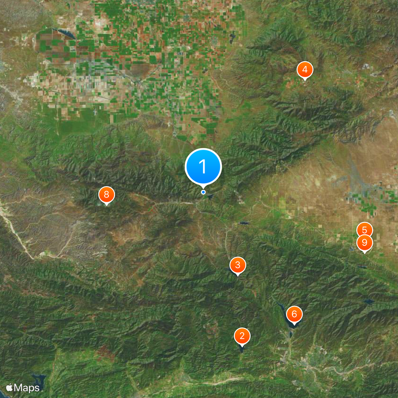
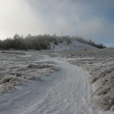
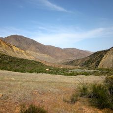
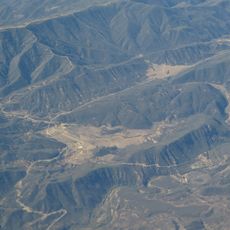
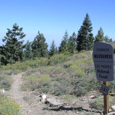
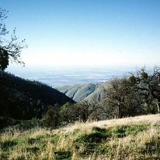
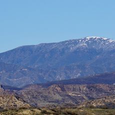
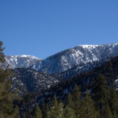
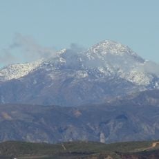
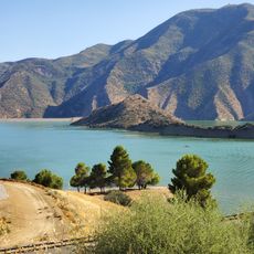
Lebec is a small community in Kern County situated between the San Emigdio and Tehachapi Mountains at an elevation of around 3,480 feet. The area spreads across a mountain plateau where these two ranges converge and frame the settlement.

The area takes its name from Peter Lebeck, a French trapper who died in a grizzly bear encounter near present-day Fort Tejon in 1837. Later, the community emerged as a stopping point along travel routes through the mountains.

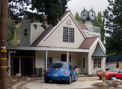
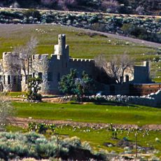
The Lebec Hotel functioned as a social gathering place from 1921 to 1968, drawing visitors from Los Angeles's entertainment industry to this mountain community. The historic building reflected the unexpected connection between this remote location and the film world far below.

The community sits directly on Interstate 5, making it easy to reach and providing quick access to nearby cities and regions. Local bus services connect the area to surrounding towns and key stops along the route.

At Fort Tejon State Historic Park, an oak tree bears a reversed epitaph of Peter Lebeck that was uncovered when bark was removed from the original carving. This unexpected discovery reveals how the area's history was hidden beneath the tree's surface.

The community of curious travelers

AroundUs brings together thousands of curated places, local tips, and hidden gems, enriched daily by 60,000 contributors worldwide.

Start exploring
Location
GPS coordinates
34.84167,-118.86472
Latest update
December 20, 2025 15:15
Around this place
Lake Piru
United States of America

Lake Piru

42.2 km
Pyramid Lake
United States of America

Pyramid Lake

23.8 km
California Correctional Institution
United States of America

California Correctional Institution

40.3 km
Antelope Valley California Poppy Reserve State Natural Reserve
United States of America

Antelope Valley California Poppy Reserve State Natural Reserve

44.8 km
Castaic Lake
United States of America

Castaic Lake

42.7 km
Fort Tejon
United States of America

Fort Tejon

4.5 km
Mount Pinos
United States of America

Mount Pinos

25.8 km
Shea's Castle
United States of America

Shea's Castle

45.9 km
Sespe Wilderness
United States of America

Sespe Wilderness

30.8 km
Bitter Creek National Wildlife Refuge
United States of America

Bitter Creek National Wildlife Refuge

46.4 km
Sespe Condor Sanctuary
United States of America

Sespe Condor Sanctuary

35.4 km
Arthur B. Ripley Desert Woodland State Park
United States of America

Arthur B. Ripley Desert Woodland State Park

34.3 km
Castaic Lake State Recreation Area
United States of America

Castaic Lake State Recreation Area

41.3 km
Frazier Mountain
United States of America

Frazier Mountain

12.1 km
Chumash Wilderness
United States of America

Chumash Wilderness

31.6 km
Hopper Mountain National Wildlife Refuge
United States of America

Hopper Mountain National Wildlife Refuge

43.2 km
United States of America

Antimony Peak

23 km
Double Mountain
United States of America

Double Mountain

40.6 km
Hines Peak
United States of America

Hines Peak

41.6 km
Willett Hot Springs
United States of America

Willett Hot Springs

34.2 km
Bear Mountain
United States of America

Bear Mountain

45.4 km
Burnt Peak
United States of America

Burnt Peak

31.8 km
Sawmill Mountain
United States of America

Sawmill Mountain

27.8 km
Cobblestone Mountain
United States of America

Cobblestone Mountain

25.9 km
Vista del Lago
United States of America

Vista del Lago

22.1 km
Fairmont Butte
United States of America

Fairmont Butte

43 km
Courtlandt Gross House
United States of America

Courtlandt Gross House

41.4 km
Vaquero Beach
United States of America

Vaquero Beach

22 km
Show the full map
Reviews
Share your experience

No review yet

Discussions
Start a discussion...

No discussion yet

« Lebec - Census-designated place in Kern County, California, United States » is provided by Around Us (aroundus.com). Images and texts are derived from Wikimedia project under a Creative Commons license. You are allowed to copy, distribute, and modify copies of this page, under the conditions set by the license, as long as this note is clearly visible.

Discover hidden gems everywhere you go!

From secret cafés to breathtaking viewpoints, skip the crowded tourist spots and find places that match your style. Our app makes it easy with voice search, smart filtering, route optimization, and insider tips from travelers worldwide. Download now for the complete mobile experience.

Around Us App Screenshot

A unique approach to discovering new places

Le Figaro

All the places worth exploring

France Info

A tailor-made excursion in just a few clicks

20 Minutes

Around Us
Travel Guide & Maps
Download

Send to your phone

QR Code
1

Open the camera app on your mobile.

2

Point at the QR code with your camera. A notification will appear.

3

Tap the notification to open the link.