
Mojave National Preserve
Mojave National Preserve, Nature reserve in San Bernardino County, California, US.
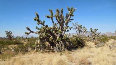
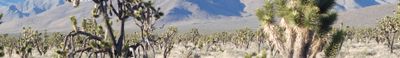
The 1.5 million acre preserve contains Joshua tree forests, volcanic formations, sand dunes, mountains, canyons, and expansive desert landscapes across the Mojave Desert.
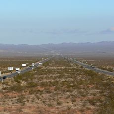
The California Desert Protection Act established Mojave National Preserve in 1994, designating 695,200 acres of wilderness area between Interstate 15 and Interstate 40.
The former railroad depot in Kelso ghost town now functions as the Preserve's Visitor Center, displaying exhibits about desert life and regional history.
Summer temperatures in the preserve reach above 105°F (41°C), requiring visitors to carry sufficient water and plan outdoor activities during cooler hours.
The Cima Dome area contains the largest and densest Joshua tree forest worldwide, though a 2020 wildfire destroyed 1.3 million of these desert plants.
Location: San Bernardino County
Inception: October 31, 1994
Operator: National Park Service
Address: Mojave Desert, California 92332, USA 92332
Phone: +17607334040
Website: https://nps.gov/moja
GPS coordinates: 34.88333,-115.71667
Latest update: August 1, 2025 08:13
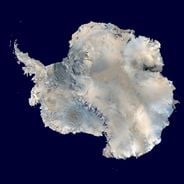
The world's largest desert expanses range from the poles to subtropical areas. From Antarctica with its 14 million square kilometers to the Mojave plains, these regions are characterized by extreme conditions and low rainfall. Polar deserts dominate in area, followed by hot deserts like the Sahara and the Arabian Desert. Each region features specific geological and climatic characteristics, creating distinct landscapes.
Interstate 40
39.8 km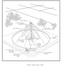
AN/URC-117 Ground Wave Emergency Network
46.8 km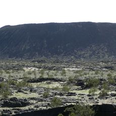
Amboy Crater
38.4 km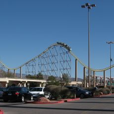
Desperado
86.8 km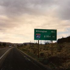
Interstate 40 in California
78.2 km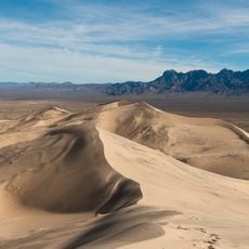
Kelso Dunes
5.6 km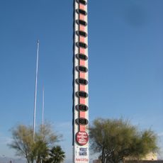
World's Tallest Thermometer
53.6 km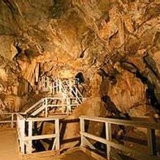
Mitchell Caverns
19.5 km
Castle Mountains National Monument
74.7 km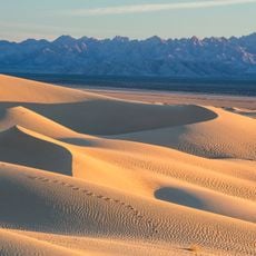
Mojave Trails National Monument
32.1 km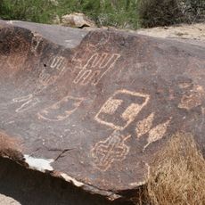
Grapevine Canyon Petroglyphs
101.4 km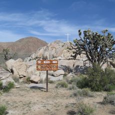
Mojave Memorial Cross
50.4 km
Cima Dome & Volcanic Field National Natural Landmark
40.9 km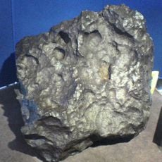
Old Woman meteorite
56 km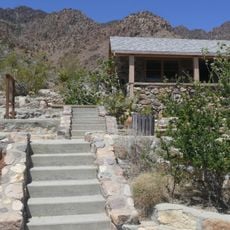
Providence Mountains State Recreation Area
20.3 km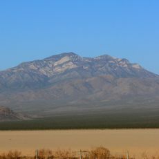
Clark Mountain
72.4 km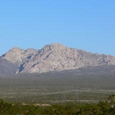
Spirit Mountain
100.4 km
Bigelow Cholla Garden Wilderness
75.7 km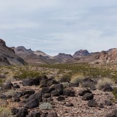
Clipper Mountain Wilderness
31.7 km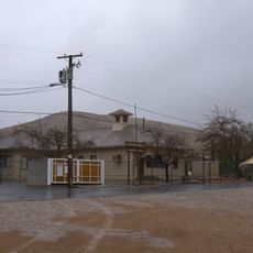
Goodsprings Schoolhouse
108.6 km
Dead Mountains
90.3 km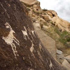
Bridge Canyon Wilderness
100.6 km
Grapevine Canyon
101.4 km
Goffs Schoolhouse
60.5 km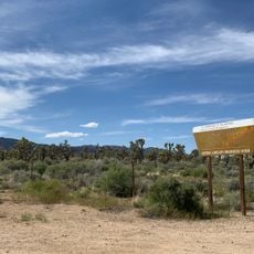
Wee Thump Joshua Tree Wilderness, Nevada
91.6 km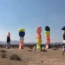
Seven Magic Mountains
113.9 km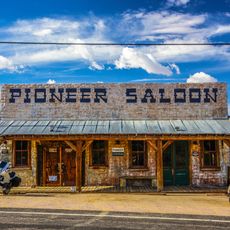
Pioneer Saloon
108.8 km
Afton Canyon
54.9 kmReviews
Visited this place? Tap the stars to rate it and share your experience / photos with the community! Try now! You can cancel it anytime.
Discover hidden gems everywhere you go!
From secret cafés to breathtaking viewpoints, skip the crowded tourist spots and find places that match your style. Our app makes it easy with voice search, smart filtering, route optimization, and insider tips from travelers worldwide. Download now for the complete mobile experience.

A unique approach to discovering new places❞
— Le Figaro
All the places worth exploring❞
— France Info
A tailor-made excursion in just a few clicks❞
— 20 Minutes