Echo Summit, Mountain pass in Sierra Nevada, California, US
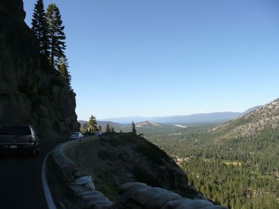
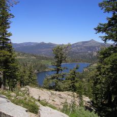
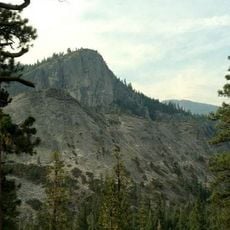
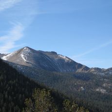
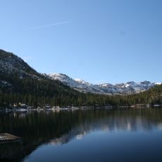
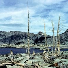
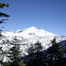
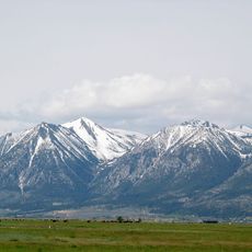
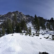
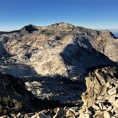
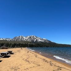
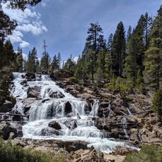
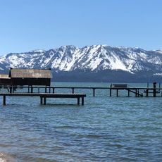
Echo Summit is a mountain pass in the Sierra Nevada of California, carrying U.S. Route 50 between Twin Bridges and Meyers at an elevation of about 7,400 feet (2,250 m). The road winds through the pass with open views of surrounding pine-covered ridges and rocky peaks.
The pass became part of the Lincoln Highway Southern Route in 1913, which was among the first roads to connect the country from coast to coast by car. That early designation shaped the route as a key crossing point through the Sierra Nevada long before modern highways existed.
Echo Summit is known among runners and cyclists as a place for serious altitude training, and you can sometimes spot athletes on the road shoulders pushing through long sessions at elevation. The thin air and open mountain setting draw people who want to test their physical limits far from city distractions.
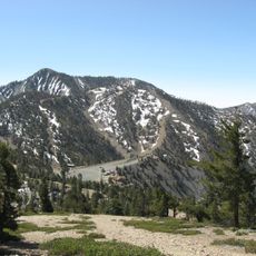
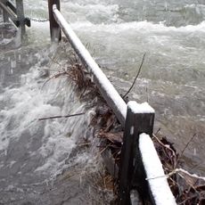
The pass sits in a heavy snow zone, so drivers should carry chains during winter months and check road conditions before heading out. Snow can reduce visibility quickly, and the road may close or require traction devices without much warning.
In the 1960s, a synthetic running track was built here to help US athletes prepare for the Mexico City Olympics, with funding coming from the Harrah's Tahoe casino. It was an unusual partnership between the gambling industry and professional sports that produced a working high-altitude training facility.
The community of curious travelers
AroundUs brings together thousands of curated places, local tips, and hidden gems, enriched daily by 60,000 contributors worldwide.