La Veta, town in Huerfano County, Colorado, United States
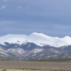
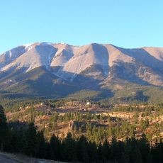
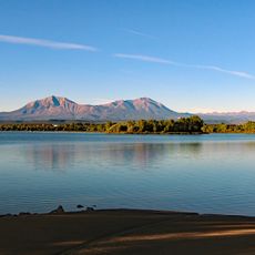
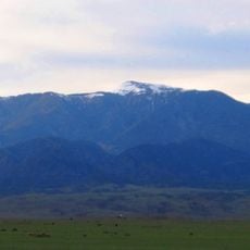
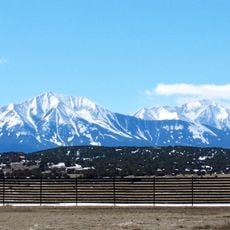
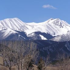
La Veta is a small town in southern Colorado, sitting in a valley at over 7,000 feet (2,100 m) elevation in Huerfano County, with old wooden storefronts and small shops along its short main street. The Spanish Peaks rise clearly to the west, framing the valley and visible from nearly every part of town.
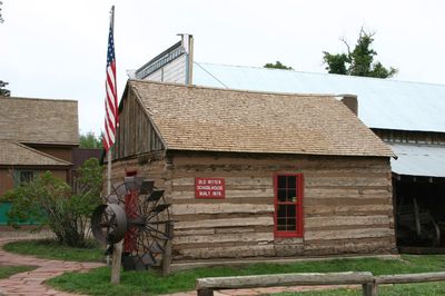
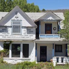
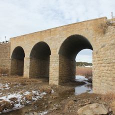
The town grew in the 1800s around an adobe fort built for protection and trade, and the thick walls of that original structure have survived to the present day. A train depot followed in 1877, and the town was officially incorporated in 1886 as rail traffic brought new settlers to the valley.
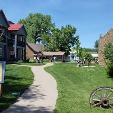
La Veta is known as an art town, and its old storefronts along the main street now house galleries showing work by artists from across the region. Every July, an outdoor music festival draws locals and visitors together in the streets for several days.
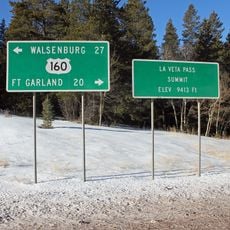
La Veta is easiest to reach by car, and the drive through the mountain passes is a worthwhile part of the trip. The weather can shift quickly at this elevation, so bringing warm layers is a good idea even in summer.
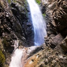
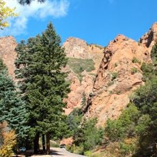
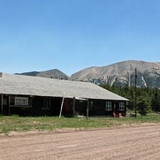
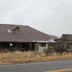
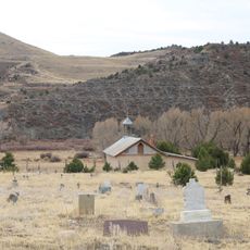
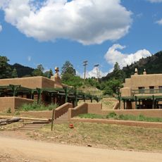
High in the mountains above town sits Uptop, a former logging settlement where original buildings, including a chapel and a depot, still stand largely untouched. The site is not well signposted and sees very few visitors, making it an out-of-the-way stop for those who seek it out.
The community of curious travelers
AroundUs brings together thousands of curated places, local tips, and hidden gems, enriched daily by 60,000 contributors worldwide.