
Black Point, cliff in Adams County, Idaho, United States
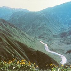
Hells Canyon
21.8 km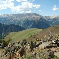
Wallowa Mountains
48.3 km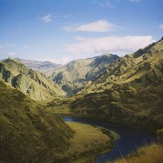
Hells Canyon National Recreation Area
49.2 km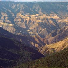
Hells Canyon Wilderness
43.9 km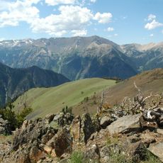
Sacajawea Peak
47.9 km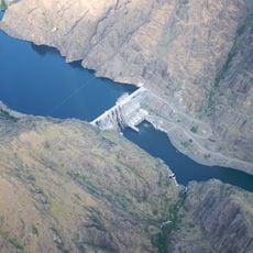
Hells Canyon Dam
7.2 km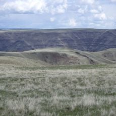
Zumwalt Prairie
50.9 km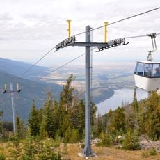
Wallowa Lake Tramway
39.6 km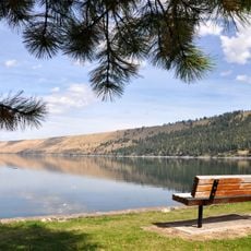
Wallowa Lake State Park
42.1 km
Eagle Cap
48.1 km
Mount Howard
39.4 km
Iwetemlaykin State Heritage Site
45.6 km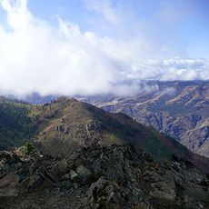
Sheep Rock
2.1 km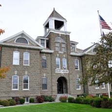
Wallowa County Courthouse
53.5 km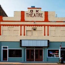
OK Theatre
53.7 km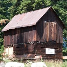
Cornucopia Jailhouse
44.2 km
College Creek Ranger Station
29.2 km
William P. Warnock House
52.7 km
First Bank of Joseph
46.4 km
Enterprise Public Library
53.5 km
Dr. J. W. Barnard Building and First National Bank of Joseph
46.3 km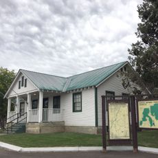
Council Ranger Station
53.9 km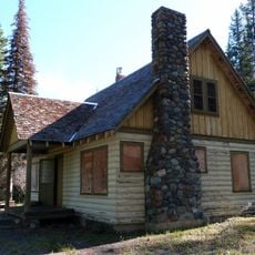
Lick Creek Guard Station
26.9 km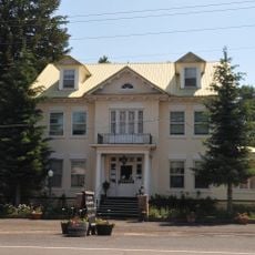
Col. E. M. Heigho House
39.6 km
Alvin M. and Betty Josephy Library of Western History and Culture
46.7 km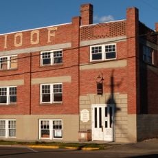
Enterprise I.O.O.F. Hall
53.5 km
Matterhorn Village
42.1 km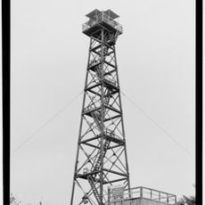
Hat Point Fire Lookout Tower
28.9 kmReviews
Visited this place? Tap the stars to rate it and share your experience / photos with the community! Try now! You can cancel it anytime.
Discover hidden gems everywhere you go!
From secret cafés to breathtaking viewpoints, skip the crowded tourist spots and find places that match your style. Our app makes it easy with voice search, smart filtering, route optimization, and insider tips from travelers worldwide. Download now for the complete mobile experience.

A unique approach to discovering new places❞
— Le Figaro
All the places worth exploring❞
— France Info
A tailor-made excursion in just a few clicks❞
— 20 Minutes