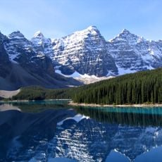
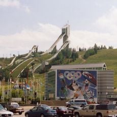
Kootenay Land District, Administrative land district in southeastern British Columbia, Canada.
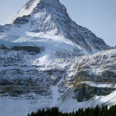
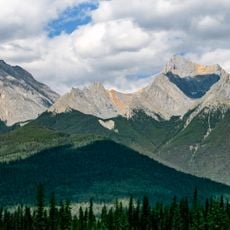
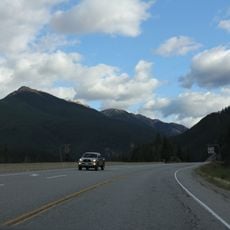
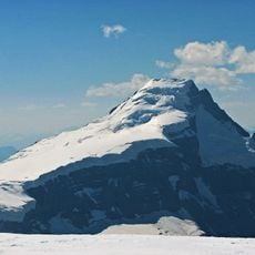
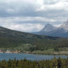
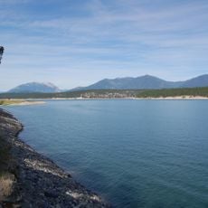
The Kootenay Land District is an administrative subdivision in southeastern British Columbia that stretches across mountain ranges, river basins, and valleys. Its boundaries are defined by the natural geography of the landscape, particularly the summits of the Monashee and Rocky Mountains.
The district was created through the Lands Act of 1860 during the Colony of British Columbia period, establishing formal boundaries for land management. The subdivision became part of the developing system for organizing property titles and surveys throughout the region.
The name Kootenay comes from the Kutenai First Nations people who lived here long before European arrivals. This connection remains visible in how locals speak about and identify with the region.
The district serves as a reference point for land titles and property surveys throughout the region. To understand the boundaries and administrative divisions, consult local survey maps or contact land registry offices for detailed information.
Unlike many land districts defined by latitude and longitude lines, this one follows the natural topography of mountain ranges and watersheds. This geographic approach makes it distinct from the typical grid-based divisions found elsewhere.
The community of curious travelers
AroundUs brings together thousands of curated places, local tips, and hidden gems, enriched daily by 60,000 contributors worldwide.