Zillertal Alps, Mountain range in Tyrol, Austria and South Tyrol, Italy
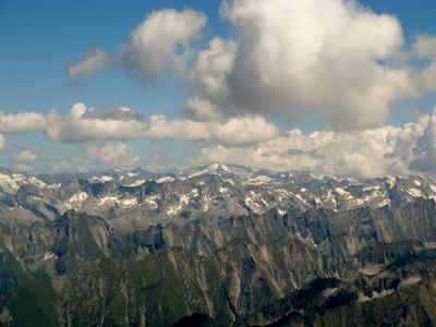
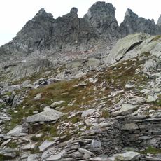
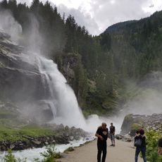
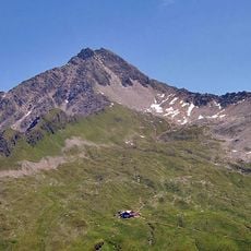
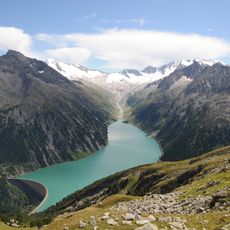
The Zillertal Alps stretch along the Austrian-Italian border with numerous peaks rising above 10,000 feet (3000 meters). The range displays extensive glaciers in its highest zones and deep valleys that shape the landscape throughout.
The range formed millions of years ago through geological processes that positioned it as a major crossing point between northern and southern Alpine regions. Communities on both sides of the border have long used this terrain as a passage and living space.
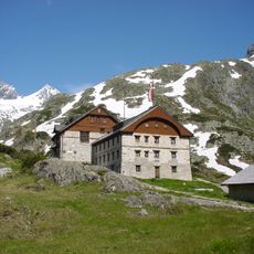
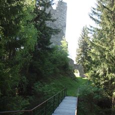
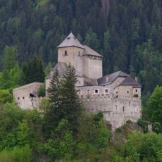
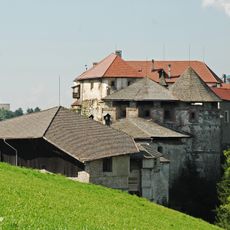
The range contains traditional Alpine huts where visitors still find regional cooking and mountain customs alive today. These shelters have shaped how mountain communities organized their lives across the high terrain for many generations.
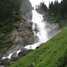
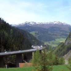
Access to various trails happens through marked paths and mountain roads, especially in the Zillertal and on the Italian side. The best time for hiking is between June and September, when snow has melted and mountain shelters operate.
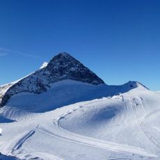
The range consists of six distinct subgroups, including the Tux Valley and the Aurine Alps, each offering different landscapes and routes. This division lets hikers discover quite varied Alpine experiences within a single connected region.
The community of curious travelers
AroundUs brings together thousands of curated places, local tips, and hidden gems, enriched daily by 60,000 contributors worldwide.