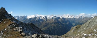
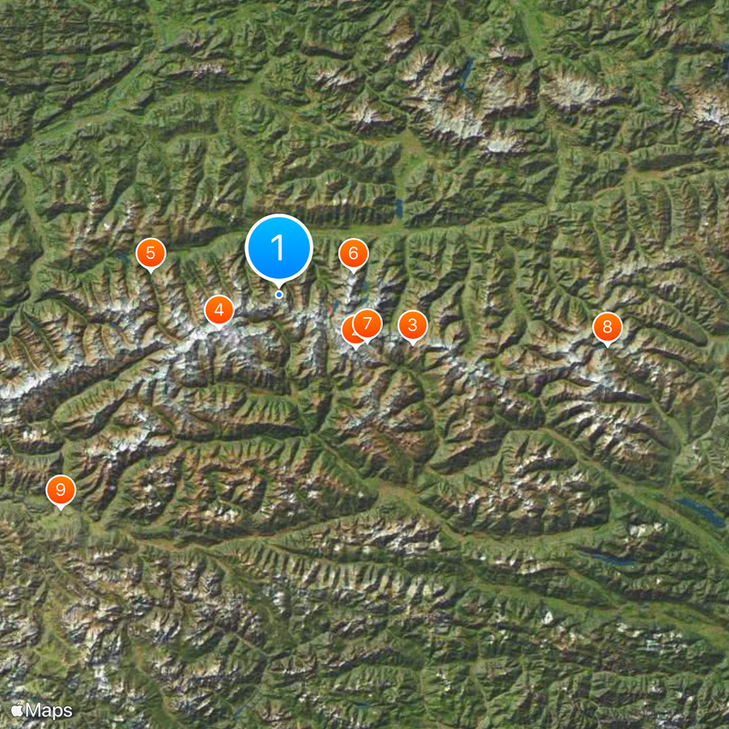
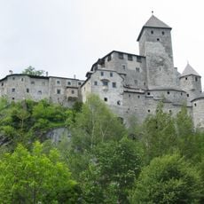
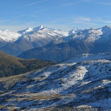
High Tauern, Mountain range in Carinthia, Salzburg, and Tyrol, Austria
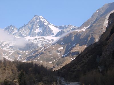
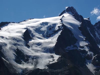
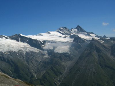
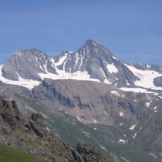
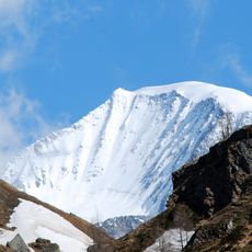
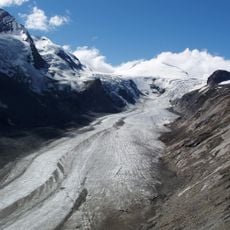
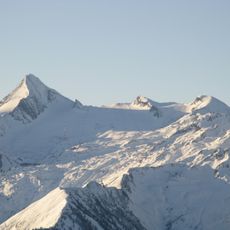
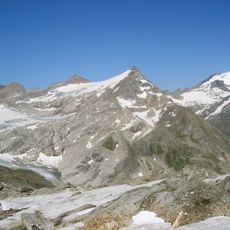
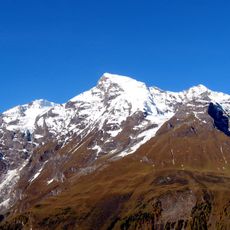
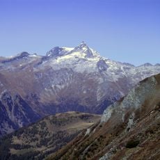
The mountain range stretches roughly 100 kilometers across the Austrian states and contains numerous peaks, with the Grossglockner being the highest at 3,798 meters. The chain consists mainly of gneiss and crystalline schist, creating a region of deep valleys and steep slopes.
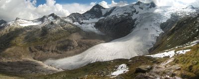
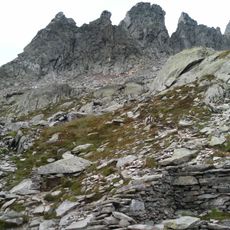
The range was shaped during Alpine mountain-building through the formation of gneiss and crystalline schist. The region acquired its current form through erosion and glacial activity over millions of years.
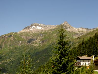
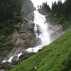
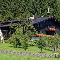
The range shapes daily life in surrounding valleys, where alpine meadow farming and traditional mountain agriculture remain active practices. This way of life is deeply tied to the landscape and defines the region's character today.
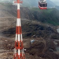
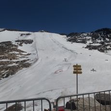
The region is accessible from multiple sides, with hiking trails offering varying difficulty levels depending on the season. Visitors should know that weather can change quickly and higher elevations are often unreachable during winter months.
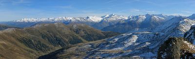
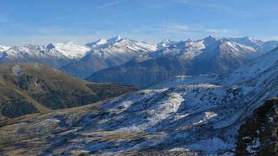
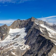
The eastern section ends at the Hafner massif, marking where the last three-thousand-meter peaks of the entire Alps are located. This spot represents a geographical boundary of note for mountaineers and geographers alike.
The community of curious travelers
AroundUs brings together thousands of curated places, local tips, and hidden gems, enriched daily by 60,000 contributors worldwide.