Sreemangal Upazila, Administrative division in Moulvibazar District, Bangladesh
Description
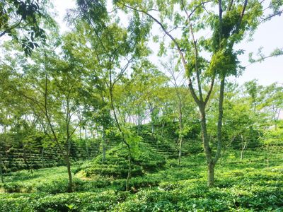
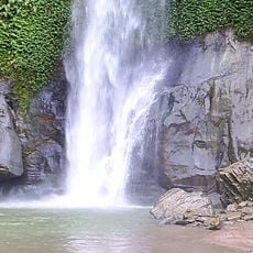
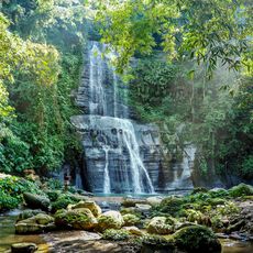
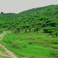
Sreemangal is an administrative area in northeastern Bangladesh dominated by tea gardens and rolling green hills. The region combines agricultural fields with scattered villages and is organized through nine union parishads that handle local governance.
History
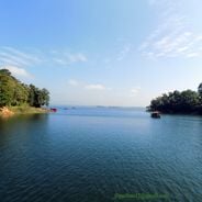
The region takes its name from two brothers, Sri Das and Mangal Das, who settled near Hail Haor in earlier centuries. Later, tea cultivation transformed the landscape and became the foundation of local economy and settlement patterns.
Culture
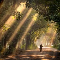
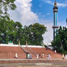
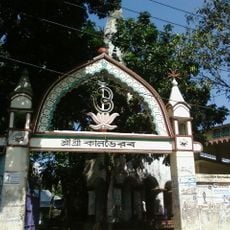
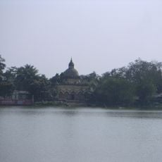
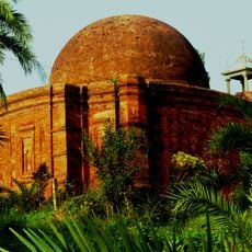
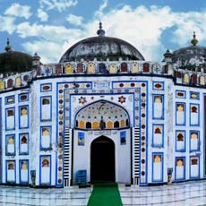
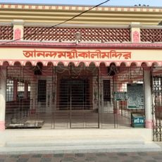
Mosques and temples stand within the landscape, reflecting how different communities coexist here through shared spaces and markets. The tea-picking seasons shape local rhythms, with workers moving through the green hills in patterns that define the region's daily pace.
Practical
The dry season offers the best conditions for exploring the tea gardens and villages, with easier access to paths and plantations. A local guide helps navigate the region and understand the different tea estates and settlements.
Did you know?
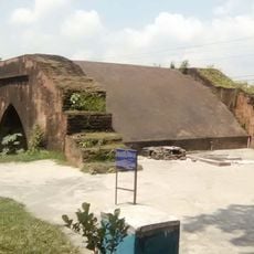
A copper plate from the 11th century was discovered in Kalapur, proving early human settlements in this area. This archaeological find shows the region had inhabitants centuries before tea cultivation began.
AroundUs brings together thousands of curated places, local tips, and hidden gems, enriched daily by 60,000 contributors worldwide. Discover all places nearby (Moulvibazar District).
Bangladesh extends from the Brahmaputra delta to the hills near the Myanmar border. The country combines historical structures with natural settings that suit photography. In Dhaka, mosques from the 17th century stand near buildings from the 20th century. The coast shows long sandy beaches and small...
Unakoti
33.8 km
Ujjayanta Palace
69.7 kmSurma-Meghna River System
68.6 km
Lawachara National Park
5.3 km
Madhabkunda waterfall
61.6 km
Keane bridge
65.9 km
Tripura Government Museum
69.6 km
Hum hum waterfall
19.4 km
Satchari National Park
35.5 km
Sylhet District Stadium
67 km
Shahi Eidgah
68.1 km
Ali Amjad's Clock
66 km
Kal Bhairab Temple
72.5 km
Khadim Nagar National Park
67.1 km
Lakshmi Narayan Temple, Agartala
69.9 km
Shankarpasha Shahi Masjid
38 km
Tilagor Eco Park
70 km
Haripur Barabari
53.2 kmRaj Bhavan
68.1 km
Museum of Rajas'
66.7 km
Osmany Museum
66.8 km
Arifil Mosque
69.1 km
Swami Vivekananda Stadium, Agartala
69.5 km
Bariura Old Bridge
65.6 km
Madani Chattar
67.3 km
Zoo - Sitesh Ranjan Deb (Wildlife Conservationist)
1.3 km
Shaheed Minar, Sylhet
67.1 km
Anandamayi Kali Temple, Brahmanbaria
73.4 kmDiscover hidden gems everywhere you go!
From secret cafés to breathtaking viewpoints, skip the crowded tourist spots and find places that match your style. Our app makes it easy with voice search, smart filtering, route optimization, and insider tips from travelers worldwide. Download now for the complete mobile experience.
A unique approach to discovering new places❞
— Le Figaro
All the places worth exploring❞
— France Info
A tailor-made excursion in just a few clicks❞
— 20 Minutes