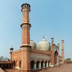
Indus River, Major river in Pakistan.
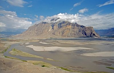
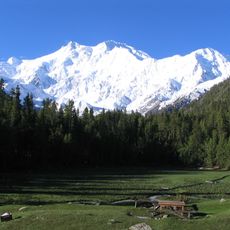
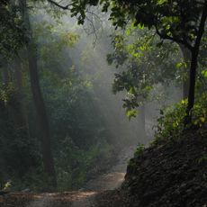
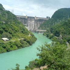
This waterway begins on the Tibetan plateau and flows through narrow mountain gorges, wide plains and agricultural regions before reaching the Arabian Sea over a distance exceeding 3000 kilometers. Along its course, it cuts through mountain ranges and arid plateaus while its banks alternate between dense forests and sprawling fields.
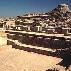
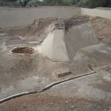
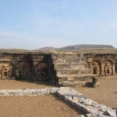
Around 3300 BCE, city-states with planned streets, drainage systems and multi-story brick homes developed along its shores. This civilization faded around 1900 BCE, possibly due to shifting climate and changing courses of the waterway.
Communities along the banks grow rice, wheat and cotton, following irrigation methods passed down through generations over centuries. Fishermen cast nets in the early morning, while in larger towns, riverside docks serve as market places where traders sell fresh produce and dried fish.
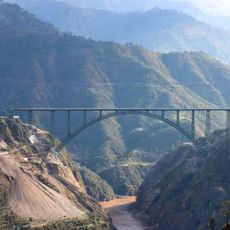
Travelers can observe the waterway at several points, with higher regions offering cooler temperatures and steeper banks while southern sections remain flatter and warmer. Accessible spots are found near larger towns where bridges and promenades provide direct views of the water.
The waterway carries tons of mountain sediment daily, shifting the color of the water from greenish to pale brown depending on season and rainfall. In some sections, temporary sandbars form each year, changing navigation routes and creating new shorelines for birds and wildlife.
The community of curious travelers
AroundUs brings together thousands of curated places, local tips, and hidden gems, enriched daily by 60,000 contributors worldwide.