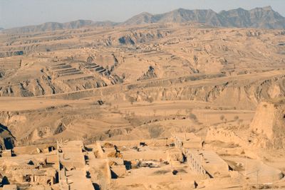
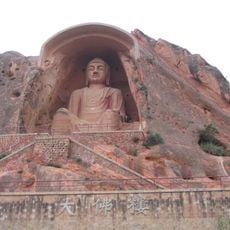
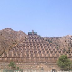
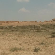
Loess Plateau, Large plateau region in northern China
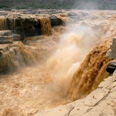
The Loess Plateau stretches across seven provinces in northern China, covering an area from Mongolia down into the center of the country. The landscape shows yellow sediment layers, deep gullies, and terraced slopes carved by erosion.
Tectonic movements during the Neogene period lifted the region, while winds over thousands of years dropped yellow dust particles from the deserts of Central Asia. These deposits buried the original surface under dozens of meters of sediment.
Farmers live in yaodong cave dwellings carved into the soft loess walls, staying cool in summer and warm in winter. This traditional building style still shapes entire villages along the terraced slopes.
Travel between spring and autumn when the terraces are green and roads remain passable, as rain makes the dirt paths difficult. Local guides help navigate remote villages and explain the land use.
The sediment layers reach depths of over 50 meters and are among the thickest in the world, completely hiding the geology underneath. This thickness formed through millions of years of uninterrupted wind deposition from the Mongolian steppes.
The community of curious travelers
AroundUs brings together thousands of curated places, local tips, and hidden gems, enriched daily by 60,000 contributors worldwide.