Mahalangur Himal, Massif in Tingri County, China.
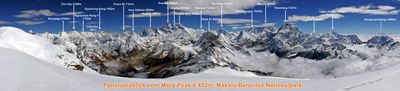
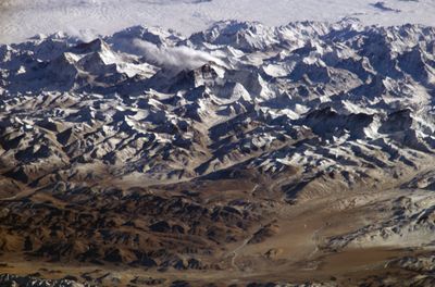
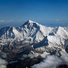
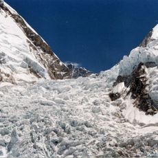
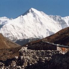
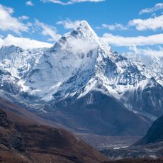
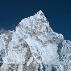
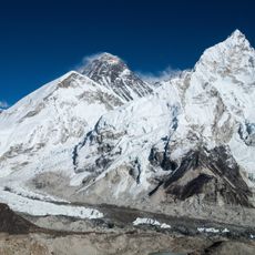
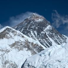
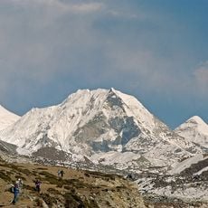
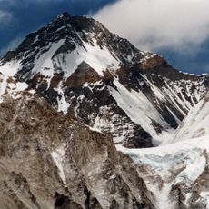
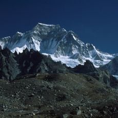
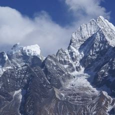
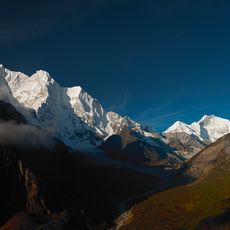
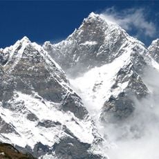
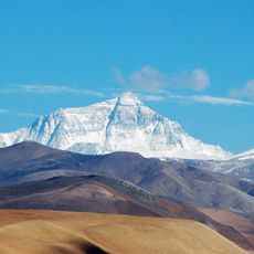
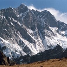
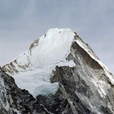
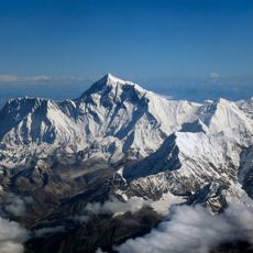
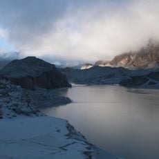
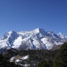
The Mahalangur Himal is a mountain range spanning China and Nepal, home to multiple peaks above 8000 meters (26,000 feet). It features steep rock faces, extensive glaciers, and snow-covered slopes that create a dramatic high-altitude landscape.
The range has long served as a passage and trade route through the high Himalaya. Modern geological surveys in the 1900s began mapping the range systematically and documenting its structure.
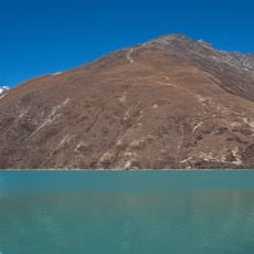
Local communities in both the Tibetan and Nepali sections have long relied on yak herding and high-altitude farming as their way of life. These practices continue to shape how people move through and use the mountain slopes today.
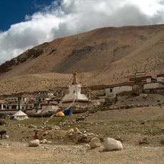
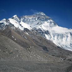
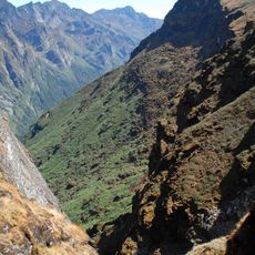
The northern Chinese section requires permits from local authorities, with access usually starting from the Rongbuk Monastery. The southern Nepali side can be reached via trekking routes and climbing paths with varying difficulty levels.
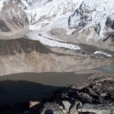
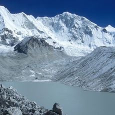
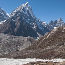
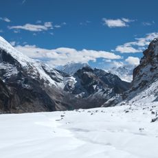
The Rongbuk Glacier on the northern face is one of the longest glacier systems in the entire Himalaya. This ice flow has shaped the landscape and provides a striking feature when viewed from lower elevations.
The community of curious travelers
AroundUs brings together thousands of curated places, local tips, and hidden gems, enriched daily by 60,000 contributors worldwide.