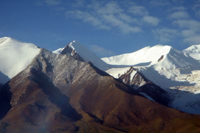
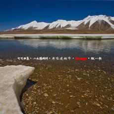
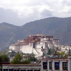
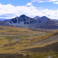
Tanggula Mountains, Mountain range in Tibet and Qinghai, China
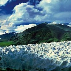
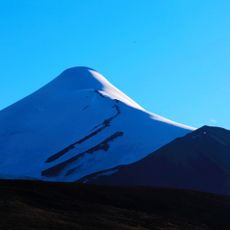
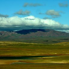
The Tanggula Mountains form a major ridge system on the Tibetan Plateau, dividing the region between Qinghai Province and Tibet. The high peaks rise dramatically above surrounding terrain and shape the landscape's geography and wind patterns.
For centuries, this mountain range served as a natural boundary and passage route for nomadic peoples of the Tibetan Plateau. The construction of modern transportation infrastructure in the 20th century transformed how people and goods crossed through the region.
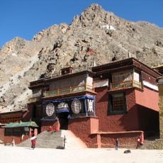
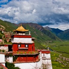
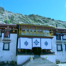
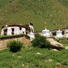
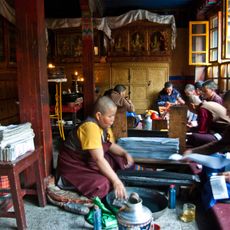
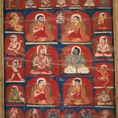
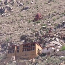
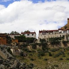
Local Tibetan communities view these mountains as integral to their homeland, using the high plateaus for herding and daily life. The peaks shape how people here connect with their environment and seasonal patterns.
Visiting requires acclimatization to extreme altitude as the air is thin and physical effort becomes more taxing. It is wise to move slowly and allow time for your body to adjust before attempting longer walks or hikes.
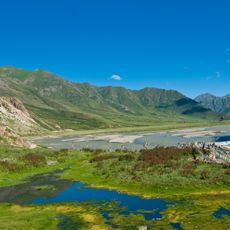
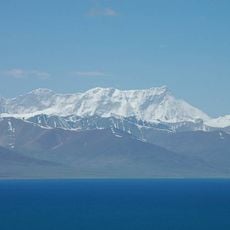
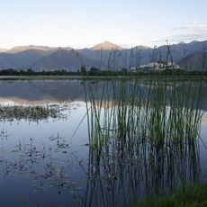
These mountains hold the source waters of several major Asian rivers that flow outward from this ridge across the continent. Scattered salt lakes dot the southern plateau, creating a striking feature of this mountainous landscape.
The community of curious travelers
AroundUs brings together thousands of curated places, local tips, and hidden gems, enriched daily by 60,000 contributors worldwide.