
Gar County, county in Tibet Autonomous Region, People's Republic of China
Location: Ngari Prefecture
Website: http://xzge.gov.cn
GPS coordinates: 32.09694,80.35639
Latest update: March 2, 2025 23:23

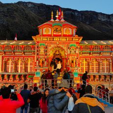
Badrinath Temple
171.5 km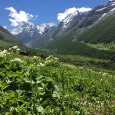
Valley of Flowers National Park
167.6 km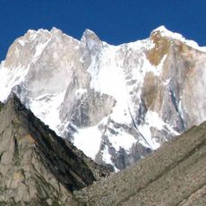
Meru Peak
185.7 km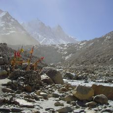
Gangotri Glacier
180.4 km
Indian Astronomical Observatory
151.3 km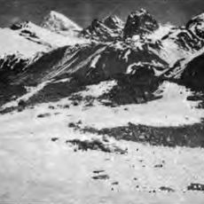
Kamet
149.7 km
Vasudhara Falls
169.1 km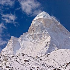
Shivling
182.8 km
Satopanth Glacier
176.8 km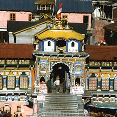
Sapta Badri
174.7 km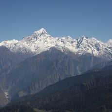
Dunagiri
182.1 km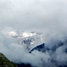
Nanda Devi and Valley of Flowers National Parks
167 km
Kedarnath Wildlife Sanctuary
166.3 km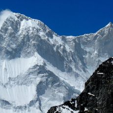
Changabang
182.4 km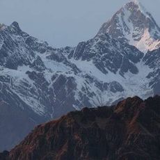
Abi Gamin
148.2 km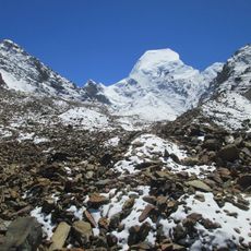
Satopanth
176.2 km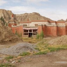
Toling Monastery
86.3 km
Haathi Parvat
169.1 km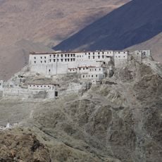
Hanle Monastery
148.9 km
Sri Kailash
164.1 km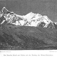
Hardeol
174.1 km
Tirsuli
171.6 km
Kalanka
181.8 km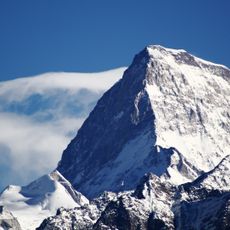
Nilgiri Parbat
161.1 km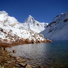
Bhrigupanth
186.6 km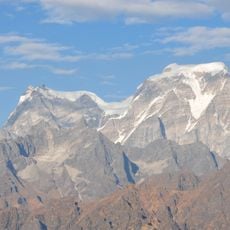
Gauri Parbat
166.4 km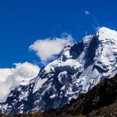
Kharchakund
187.2 km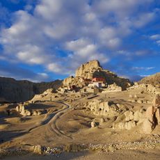
Dzong de Tsaparang
95.5 kmVisited this place? Tap the stars to rate it and share your experience / photos with the community! Try now! You can cancel it anytime.
Discover hidden gems everywhere you go!
From secret cafés to breathtaking viewpoints, skip the crowded tourist spots and find places that match your style. Our app makes it easy with voice search, smart filtering, route optimization, and insider tips from travelers worldwide. Download now for the complete mobile experience.

A unique approach to discovering new places❞
— Le Figaro
All the places worth exploring❞
— France Info
A tailor-made excursion in just a few clicks❞
— 20 Minutes