Greater Shanghai Plan, Urban plan area in Yangpu District, Shanghai, China
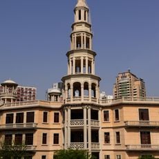
The Greater Shanghai Plan was an urban development scheme initiated in the 1920s that proposed establishing a major administrative center in the Jiangwan district. The project centered on creating modern infrastructure with wide roads and government buildings arranged in a radiating pattern to serve different parts of the city.
The scheme was launched by the Nationalist Government of China in 1927 to reshape Shanghai as a modern administrative city. Japanese occupation beginning in 1937 interrupted implementation and the project stalled.
The road names carry the plan's politics: avenues were prefixed with characters from "Zhonghua Minguo Shanghai Shizhengfu" (Republic of China Shanghai Municipal Government), and Sanguo Road, Wuquan Road, Shijie Road and the unbuilt Datong Road stood for "Three Principles, Five Powers, World Great Unity". Names such as Guoding Road, Shiguang Road and Zhengli Road survive today.
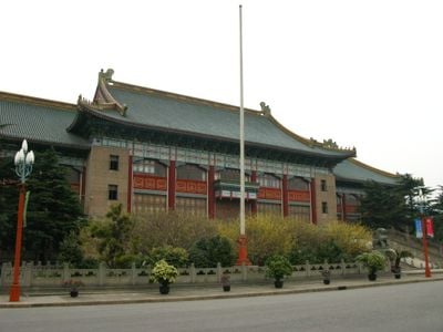
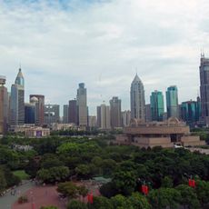
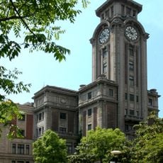
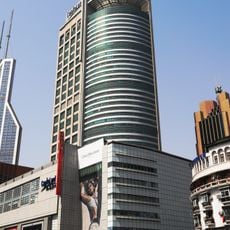
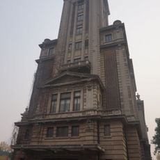
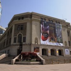
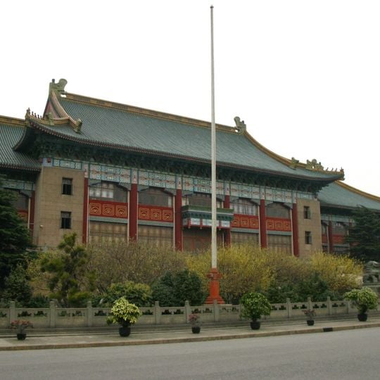
The planned centre lies around today's Wujiaochang in Yangpu District; the former city hall stands on the campus of Shanghai University of Sport, its rear facing Shijie Road. The five-road junction at Wujiaochang, formed where Qimei Road (now Siping Road) meets Xiangyin and Huangxing roads, survives in its original layout. Several 1930s roads keep their planned names, such as Guoding Road, Shiguang Road and Zhengli Road.
The winning design for the city hall was chosen in February 1930 from a public competition that offered a 3,000-yuan prize, and it went to architect Dong Dayou. Construction began in June 1931 under the Zhu Senji building firm, was halted by the January 1932 Shanghai Incident, and the building was finally completed on 10 October 1933.
The community of curious travelers
AroundUs brings together thousands of curated places, local tips, and hidden gems, enriched daily by 94,001 contributors worldwide.