
道坝子乡, Gemeinde in China
Location: Weichang Manchu and Mongol Autonomous County
GPS coordinates: 41.97150,117.55127
Latest update: April 29, 2025 21:02
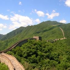
Mutianyu
189.8 km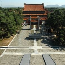
Eastern Qing Tombs
198.1 km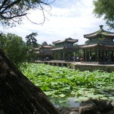
Chengde Mountain Resort and its outlying temples
114.2 km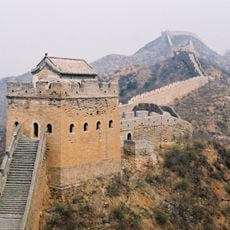
Jinshanling
146.6 km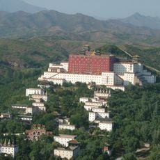
Putuo Zongcheng Temple
111.3 km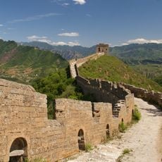
Simatai Great Wall
148.1 km
Tiaojishan Formation
156.2 km
Jiankou
191.8 km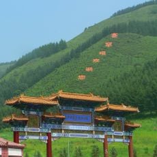
Saihanba National Forest Park
16.9 km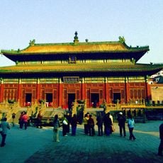
Puning Temple
111.5 km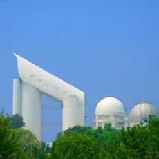
LAMOST
175.4 km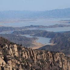
Miyun Reservoir
172.3 km
Chengde Mountain Resort
114.1 km
Niuheliang
176.4 km
Hongluo Temple
194.3 km
Yanqi Lake
190 km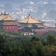
Xumi Fushou Temple
111.8 km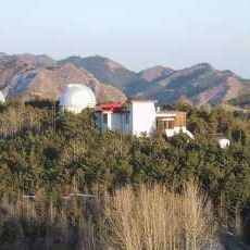
Xinglong Station
175.6 km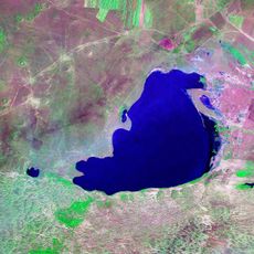
Dalai Nur
166.1 km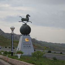
Hexigten Global Geopark
142.1 km
Wenjin Ge
113.5 km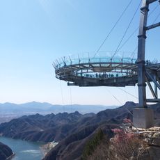
Shilinxia
191.9 km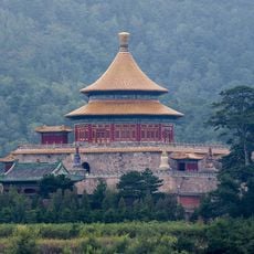
Pule Temple
113.7 km
Puren Temple
114.1 km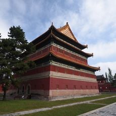
Anyuan Temple
112.9 km
Ka La Qin Palace
80 km
打虎石水库
109.9 km
Miaogong reservoir
36.5 kmReviews
Visited this place? Tap the stars to rate it and share your experience / photos with the community! Try now! You can cancel it anytime.
Discover hidden gems everywhere you go!
From secret cafés to breathtaking viewpoints, skip the crowded tourist spots and find places that match your style. Our app makes it easy with voice search, smart filtering, route optimization, and insider tips from travelers worldwide. Download now for the complete mobile experience.

A unique approach to discovering new places❞
— Le Figaro
All the places worth exploring❞
— France Info
A tailor-made excursion in just a few clicks❞
— 20 Minutes