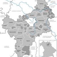
Bayreuth, Administrative district in Upper Franconia, Germany
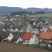
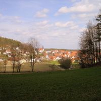
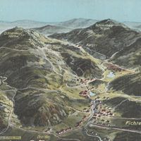
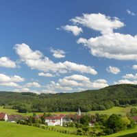
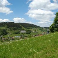
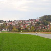
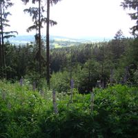
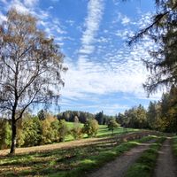
The district of Bayreuth extends across 1,273 square kilometers of varied landscapes between the Franconian Jura hills and the Fichtel Mountains.
The district received its current structure in 1972 through the consolidation of former districts Bayreuth and Pegnitz, with additions from Münchberg and Kemnath.
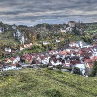
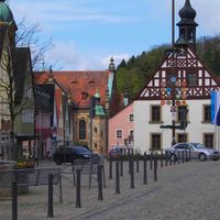
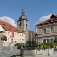
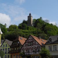
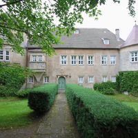
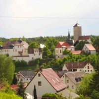
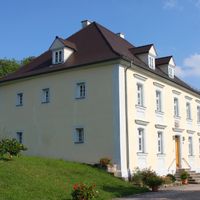
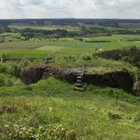
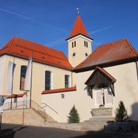
The district contains multiple medieval castles, including Schloss Aufseß, Burg Pottenstein, and Burg Waischenfeld, which represent regional architectural traditions.
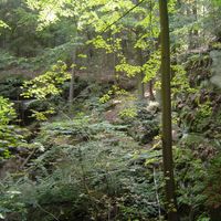
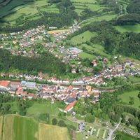
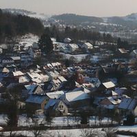
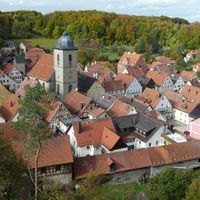
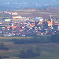
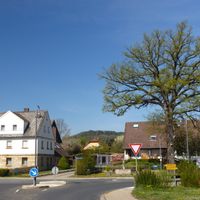
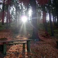
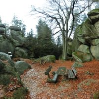
The district encompasses 33 municipalities and maintains numerous forest areas, including the Veldenstein Forest, which serves as a natural recreation zone.
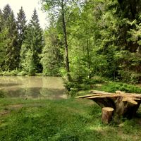
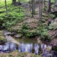
Both the White Main and Red Main rivers originate within the district boundaries, forming essential water sources for the region.
Location: Upper Franconia
Inception: July 1, 1862
Capital city: Bayreuth
Elevation above the sea: 507 m
Shares border with: Forchheim District, Bayreuth, Lichtenfels, Bamberg, Kulmbach, Hof, Wunsiedel, Tirschenreuth, Neustadt an der Waldnaab, Amberg-Sulzbach, Nürnberger Land
Website: http://landkreis-bayreuth.de
GPS coordinates: 49.92000,11.50000
Latest update: May 27, 2025 09:28
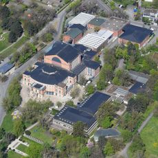
Bayreuth Festival Theatre
7.2 km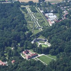
Eremitage
9.4 km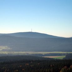
Ochsenkopf
25.4 km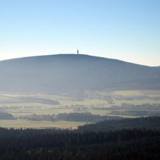
Schneeberg
29.3 km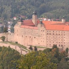
Plassenburg
21.1 km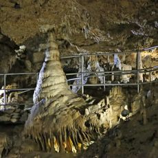
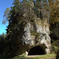
Devil's Cave
19.3 km
Margravial Opera House
6.3 km
Wahnfried
6.3 km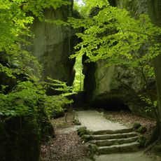
Felsengarten Sanspareil
14.5 km
Fränkisches Wunderland
29.4 km
Schiefe Ebene
19.1 km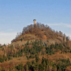
Rauher Kulm
27.1 km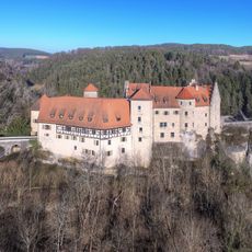
Castle Rabenstein
14.4 km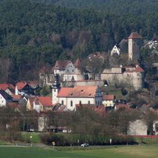
Burg Veldenstein
32.6 km
Basilica Gößweinstein
20.4 km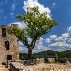
Neideck Castle
22.8 km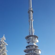
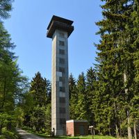
Ochsenkopf Transmitter
25.3 km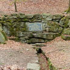
Saalequelle
32.3 km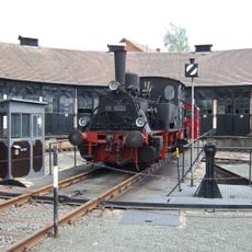
German Steam Locomotive Museum
20.3 km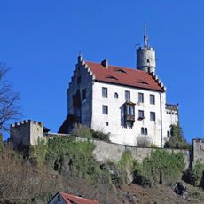
Gößweinstein Castle
20.7 km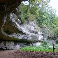
Sophienhöhle
13.7 km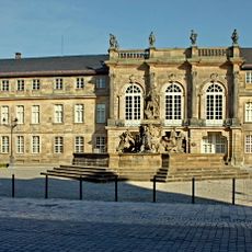
Neues Schloss Bayreuth
6.3 km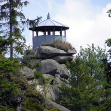
Großer Waldstein
34.4 km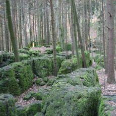
Druidenhain
22.8 km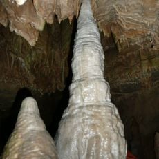
Bing Cave
23.6 km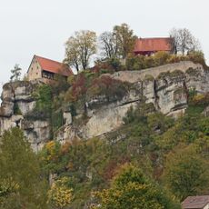
Pottenstein Castle
18.2 km
Schloss Fantaisie
1.6 km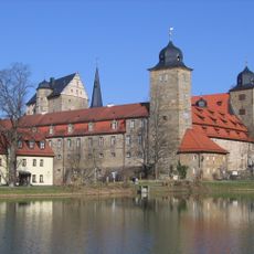
Schloss Thurnau
13.9 kmReviews
Visited this place? Tap the stars to rate it and share your experience / photos with the community! Try now! You can cancel it anytime.
Heinersreuther Forst
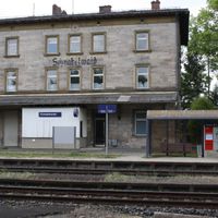
Waischenfeld
Pottenstein
Pegnitz
Hollfeld
Goldkronach
Gefrees
Creußen
Betzenstein
Bad Berneck im Fichtelgebirge
Plechito
Schnabelwaid
Weidenberg
Haag
Glashütten

Gesees
Fichtelberg
Emtmannsberg

Eckersdorf
Bischofsgrün

Bindlach
Aufseß
Ahorntal
Warmensteinach
Speichersdorf
Seybothenreuth
Prebitz
Plankenfels
Mistelgau
Mistelbach
Mehlmeisel
Kirchenpingarten
Hummeltal
Heinersreuth
Bischofsgrüner Forst
Forst Neustädtlein am Forst
Glashüttener Forst
Goldkronacher Forst
Langweiler Wald
Lindenhardter Forst-Nordwest
Lindenhardter Forst-Südost
Neubauer Forst-Nord
Prüll
Veldensteiner Forst
Waidacher Forst
Warmensteinacher Forst-Nord
Discover hidden gems everywhere you go!
From secret cafés to breathtaking viewpoints, skip the crowded tourist spots and find places that match your style. Our app makes it easy with voice search, smart filtering, route optimization, and insider tips from travelers worldwide. Download now for the complete mobile experience.

A unique approach to discovering new places❞
— Le Figaro
All the places worth exploring❞
— France Info
A tailor-made excursion in just a few clicks❞
— 20 Minutes