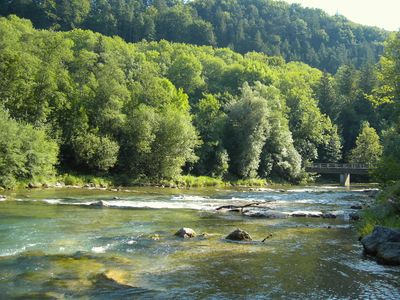
Mangfall, River in Upper Bavaria, Germany
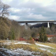
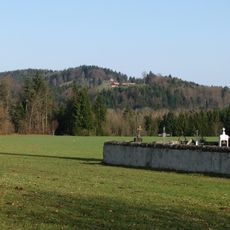
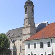
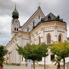
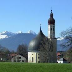
The Mangfall is a river in Upper Bavaria that originates from Tegernsee Lake and flows through the region before joining the Inn River near Rosenheim. The waterway passes through varied landscapes including meadows, forests, and small settlements scattered along its banks.
The river was shaped during the Ice Age by glacial erosion, carving the valleys where later settlements developed. Its location between mountain ranges made it an important link for the growth of villages and trading towns along its course.
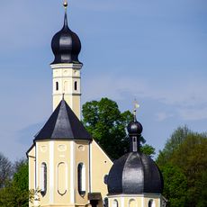
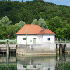
Local communities along the river rely on its waters for fishing and daily activities that connect villages throughout the region. The waterway shapes how people experience the landscape and move through the area where they live.
Visitors can explore the area using well-developed cycling paths that run alongside the river, making it easy to travel through the landscape by bike. Spring through autumn offers the most favorable conditions, with mild weather and dry trails suitable for recreational riding.
The river gathers water from many smaller streams including Festenbach, Steinbach, and Glonn that flow down from the surrounding hillsides. These tributaries feed an extensive catchment area that covers much of the southern Upper Bavarian region.
The community of curious travelers
AroundUs brings together thousands of curated places, local tips, and hidden gems, enriched daily by 60,000 contributors worldwide.