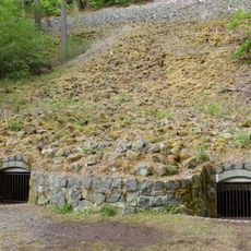
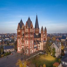
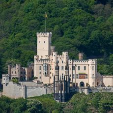
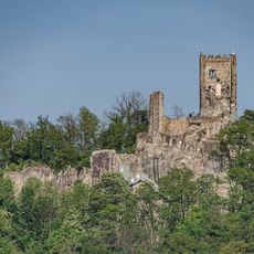
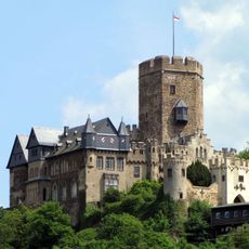
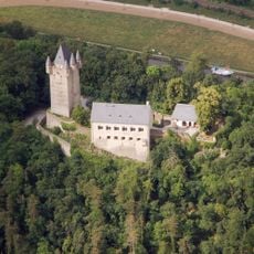
Westerwald, Low mountain range in western Germany
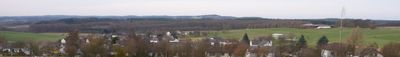
Westerwald is a low mountain range in western Germany that stretches across Rhineland-Palatinate, Hesse, and North Rhine-Westphalia, lying between the Rhine, Sieg, and Lahn rivers. The terrain consists of gentle hills, wide forests, and open plateaus with elevations between 81 and 659 meters (266 and 2,162 feet).
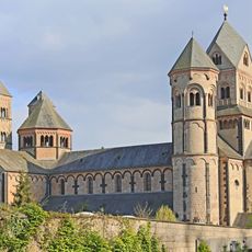
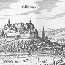
The name first appeared in documents from 1048, initially referring only to woodland areas surrounding three churches. Over the centuries, the designation expanded to cover the entire mountain range, which became shaped by mining and forestry activities.
The region carries a strong pottery-making tradition, especially in Kannenbäckerland, where artisans still shape ceramics from local clay using methods passed down through generations. Visitors can watch craftspeople at work in small workshops, where traditional techniques meet contemporary designs.
The area offers more than 230 kilometers of marked trails divided into 16 sections, suitable for different fitness levels. The paths lead through forests and across open spaces, allowing hikers to choose routes based on weather conditions.
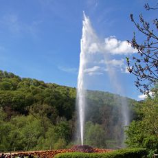
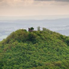
The Fuchskaute is an extinct volcano and, at 657 meters (2,156 feet), the highest point in the region. On clear days, visitors can see three federal states from the top at once.
The community of curious travelers
AroundUs brings together thousands of curated places, local tips, and hidden gems, enriched daily by 60,000 contributors worldwide.